|
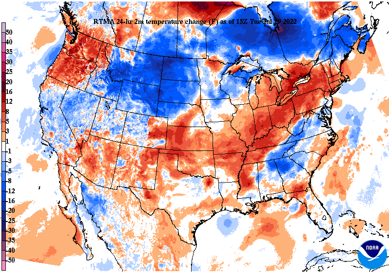
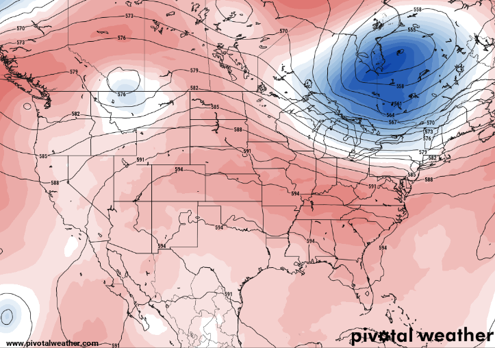
Good afternoon! Starting off first comparing temperatures to this time yesterday, we are a bit cooler. A frontal boundary washing out across the area will provide temperatures near average this afternoon. Unfortunately, from here on out an upward trend can be expected. Providing my thoughts on this weekends heat wave....an upper level ridge has been present across the Southwest (in general) for the past several weeks. As an upper low works east and out of the area, surface high pressure will fill in across the eastern CONUS. Looking at height anomalies, or rarity, there is nothing that really sticks out. Further more, we are not coming into this weekend super dry (like the month of June). All of this leads me to believe it will be warm (no doubt) but nothing close to record setting. Record highs for this Saturday (the 23rd) are both at 101 for Knoxville and Oak Ridge. The current forecast calls for mid 90s in the valley and low 90s in the plateau. This will be a good weekend to chill out in the pool, lake, or inside. Turning our attention back to today through the end of the work week, the subtle boundary will lead to isolated and scattered showers/storms today and the next couple of days. Once this finally presses through and out late Thursday, high pressure will fill in. Because activity is quite "random" it will be hard to say exactly who sees showers/storms each day. Welcome to a typical summer afternoon, right? The good news is chances will be fairly low each day 20-40%. Dry conditions return Friday and the weekend. Other than a few showers & storms each day through Thursday, the main focus is on the encroaching heat. Highs will continue to warm each day, peaking in the low to mid 90s by the start of this weekend. Check out our video forecast below for more information. Pre-recorded for 5pm show
0 Comments
Leave a Reply. |
Your trusted source for everything weather in East Tennessee.
Social Media
|


