|
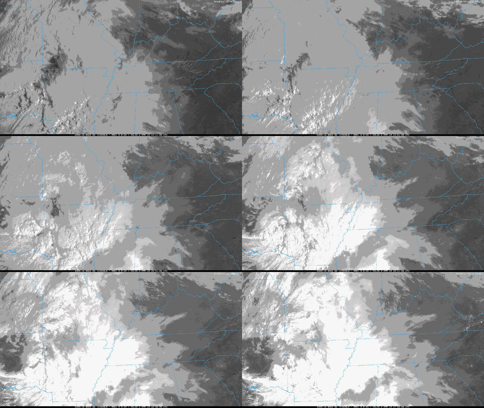
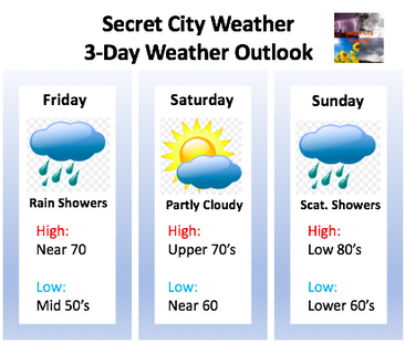
It has definitely felt like Spring these past few days with sunny skies and high's in the lower 70's. Today will be much of the same. We started mostly sunny this morning, but clouds will begin building as we move into the afternoon. As seen below from GOES-16 visible satellite, clouds are moving in from the west. We will stay dry through the rest of the day time hours with showers moving in around midnight. The low, associated with this rain, is tracking to our south. This means we will stay in the warm sector of the system and be provided with plentiful rain. As for rain totals, I expect between 0.25 and 0.5 inches. Depending on the track of the low, we could see amounts up to 0.75 in some areas. The highest rainfall amounts will be isolated to our south in areas like Athens, Chattanooga, Pikeville and those southern cities. Temperature wise, we are looking to be above average with high's in the 80's by Sunday. Sunday looks to be a very "muggy" feeling day with lots of humidity and above normal temperatures. Lucky for us, once this system moves out early next week, we will be back in the lower 70's. Here is what you can expect over the next few days:
0 Comments
Leave a Reply. |
Your trusted source for everything weather in East Tennessee.
Social Media
|


