|
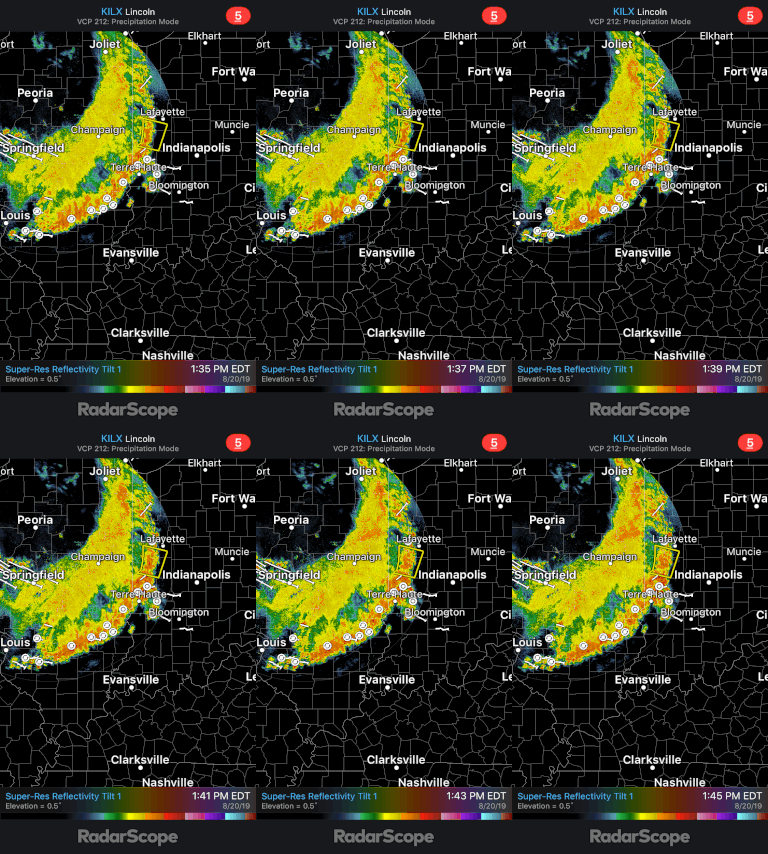
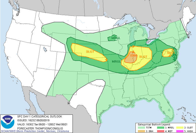
Good afternoon! A little update in the weather world for tonight. We are currently tracking a large complex of storms residing in Illinois and Indiana. This system is moving southeast, eventually arriving into western/central Kentucky and middle TN. Lucky for us, this system will weaken substantially before arriving into east TN. As you can see from the latest model guidance, this system will travel southeast this afternoon before dissipating as it arrives to Tennessee. With the loss of daytime heating and a large ridge to our southeast, it will help in the dissolution of this system. For tonight, we will be closely monitoring how well this storm stays (or doesn't stay) together. As models suggest, I expect this storm to begin dying out as it reaches western and central Kentucky (near sunset). This will leave some of us with remnant scattered showers and storms around the midnight hour. Aligned with the recent data and current forecast, the SPC has released the latest graphic showing areas with the highest severe risk. As suggested, we could see some scattered thunderstorms tonight but the severe potential is very low. The northern half of TN is under a marginal risk (category 1 of 5). We will continue to update you on the latest, but expect some scattered showers and storms from a quickly dissipating system around the midnight hour. We will clear up late leaving partly cloudy skies and high's around 90 degrees for your Wednesday.
0 Comments
Leave a Reply. |
Your trusted source for everything weather in East Tennessee.
Social Media
|


