|
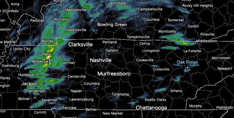
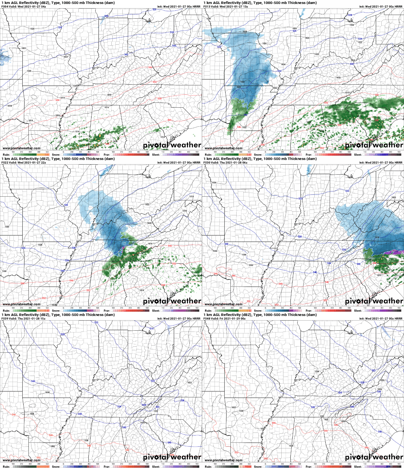
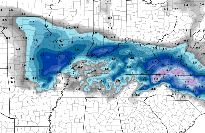
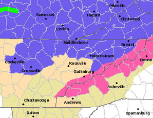
Good afternoon, I hope you are enjoying your Wednesday so far. Looking at radar, our next weather maker is producing rain showers to parts of West and Middle Tennessee. These will continue to work east this afternoon and evening bring a wide range of precipitation types. Getting a bit more in depth, we are on the warmer side of the system (not good for you snow lovers). Because of this orientation, precipitation will be in the form of rain (initially). As colder air on the back side of the system works in, a transition to frozen matter will take place. Because of the vast elevation difference across East Tennessee, this will first come for the Plateau and Smoky Mountains. A change over late in the night is possible across the Valley locations, but no snow related impacts are expected (dusting on grassy surfaces possible). However, patchy black ice will be a concern as overnight low's dip into the upper 20's. Use caution as slick spots are possible for the roadways in the morning Thursday. Getting into snow totals, things will vary. If you are living in the Plateau and counties bordering Kentucky, you have the best opportunity for accumulating snow. We are anticipating upwards of 1" possible for these locations but locally higher amounts are possible. It is also important to highlight the Plateau and northern counties are under a Winter Weather Advisory tonight. Working east, as mentioned, Valley locations should see most precipitation in the form of rain with a brief transition possible early Thursday morning. Getting to the Smokies, it is a different story. The high elevations will likely see upwards of half a foot +. These areas are under a Winter Storm Warning (highlighted pink). We will continue to monitor this system as it works east this afternoon and for any changes that could occur. For now, expect minimal impacts across most valley locations with slick spots (from black ice) the exception into Thursday morning. You may also send us reports via Twitter/Facebook/Email and we will pass those along to the NWS and other viewers. Stay warm and safe as we work overnight and into Thursday.
0 Comments
Leave a Reply. |
Your trusted source for everything weather in East Tennessee.
Social Media
|


