|
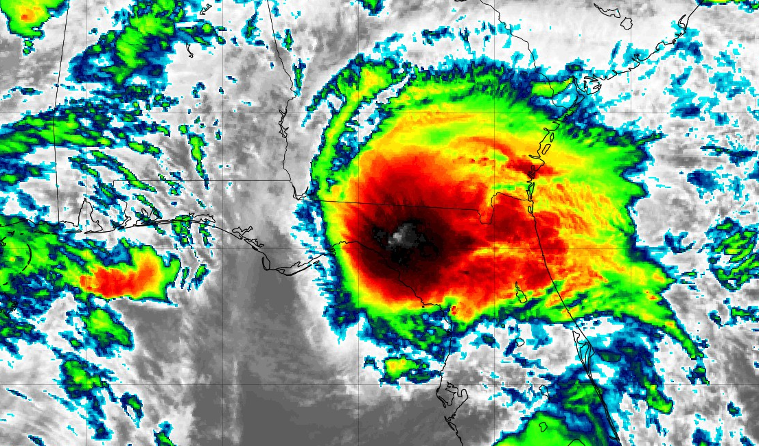
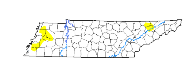
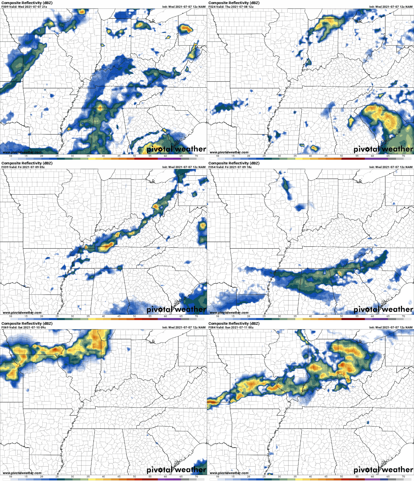
Heres the latest look at Elsa as she makes landfall in North Florida's Gulf Coast. Heavy rainfall and damaging winds are likely with this storm. In the days ahead, she will work northeast through Georgia, the Carolinas, and the New England coast. Other than a few showers/storms from Elsa's outer bands, don't expect much with this system across East Tennessee. As for the drought conditions, or lack thereof, only a few abnormally dry spots hang around. Given the rains in the recent weeks, most locations are entirely back to normal. I anticipate given the rains this week, similar to better conditions can be expected ahead. With a low to the north and Elsa to the south, we will be wedged between the two. Given the support of a jet and the two air masses, scattered showers and thunderstorms will be possible each day. These will be best for Thursday and Friday, but will continue at times into the weekend as well. With Elsa just to the south, cloud cover will look to linger through the end of the work week. Elsa is expected to weaken to a Tropical Depression as it works through the Carolinas before picking up strength as it re-enters the Atlantic towards Friday. Temperatures here at home will be seasonable with highs mainly in the mid 80s over the next couple of days. Pre-recorded for 5pm show
0 Comments
Leave a Reply. |
Your trusted source for everything weather in East Tennessee.
Social Media
|


