|
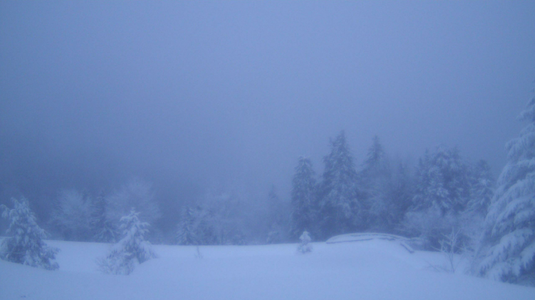
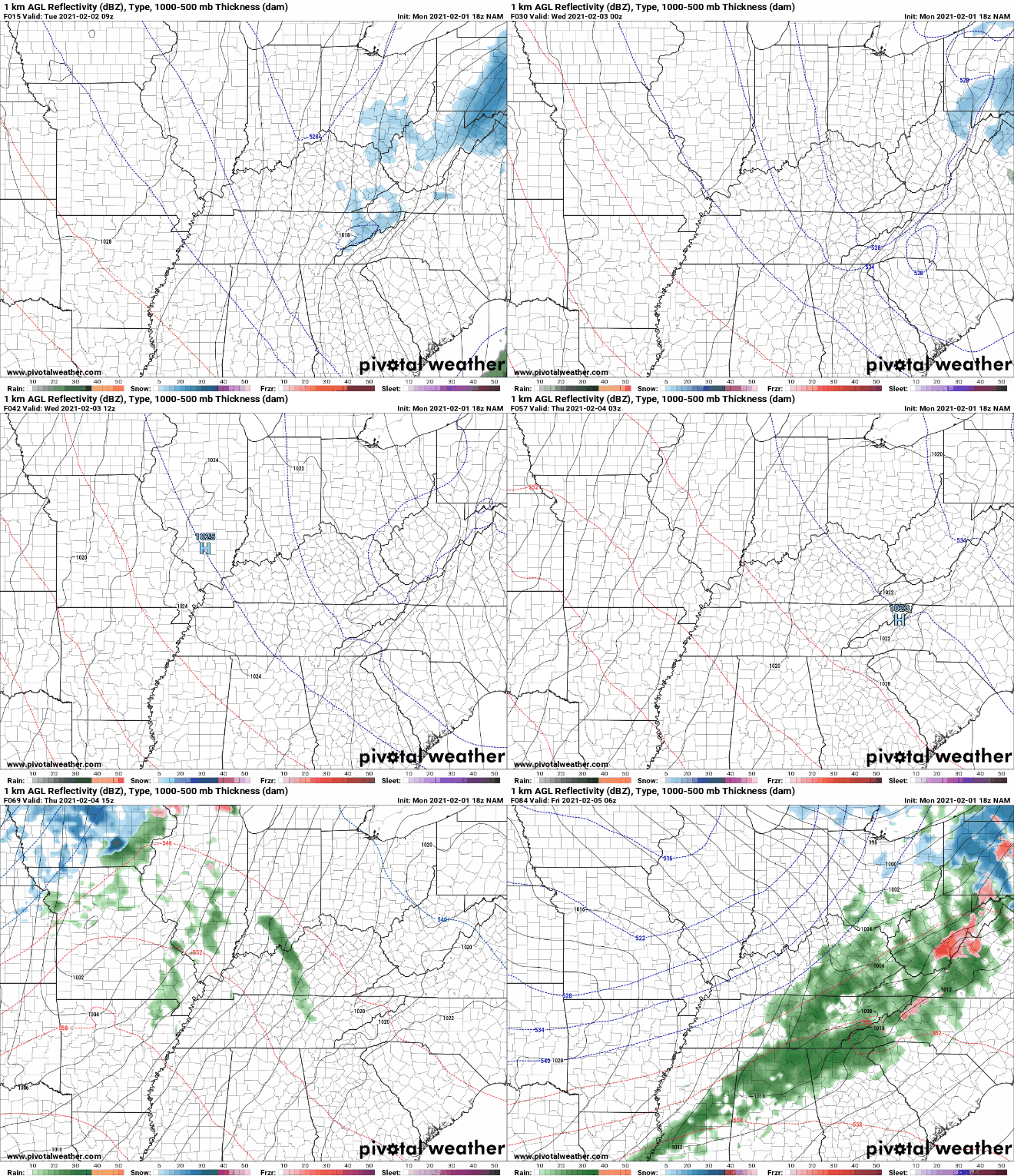
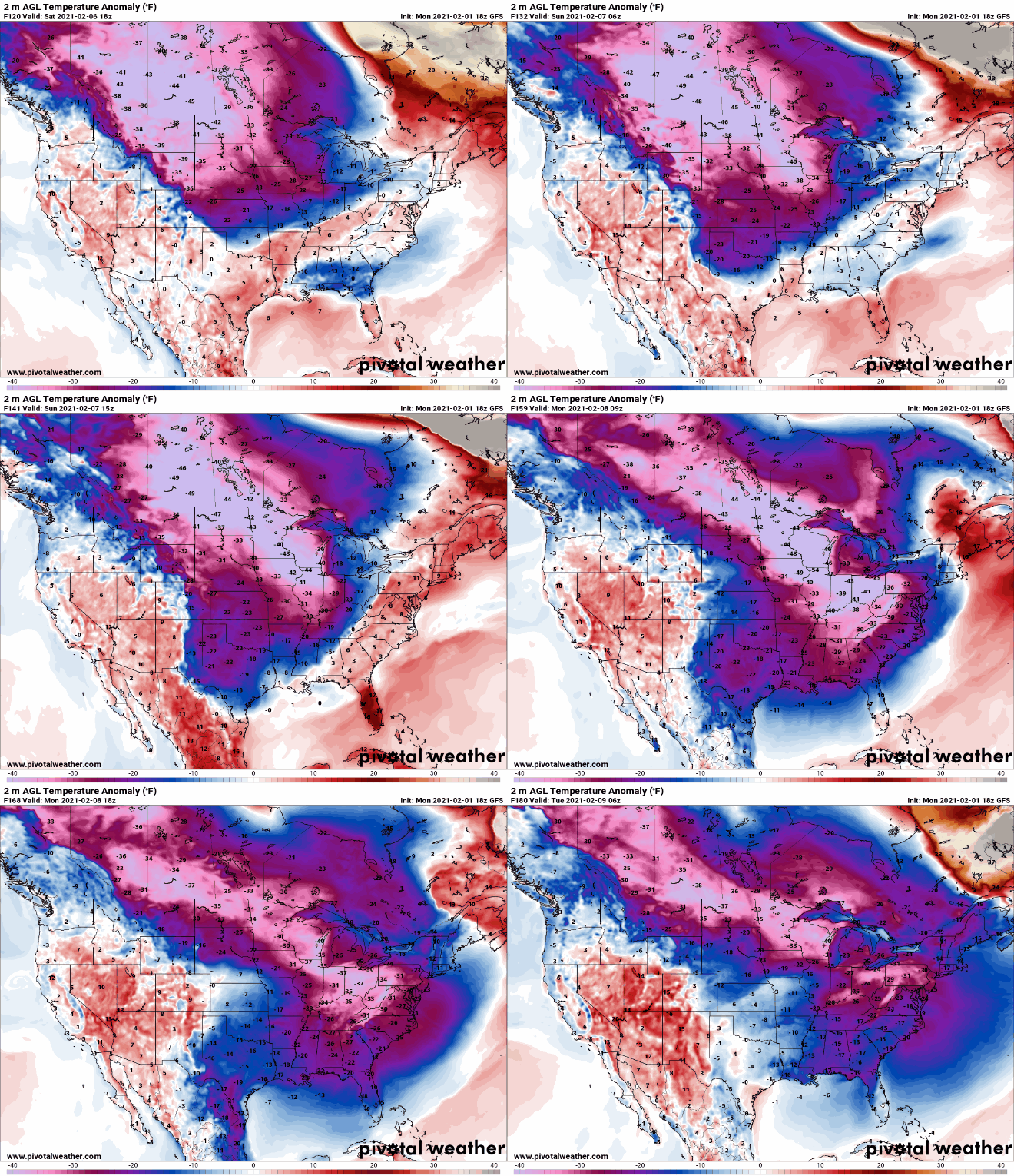
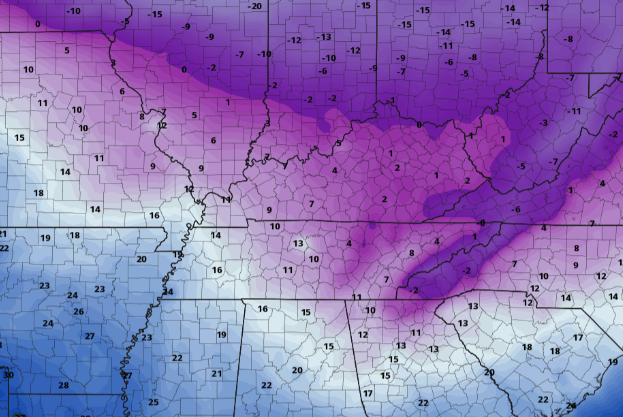
We start chilly this morning with a few snow showers/flurries still falling in the far east. As you can see below, Newfound Gap is still getting peppered with snow this morning on top of an already 9" snow depth. As we progress through the day, the parent low that brought snow to East Tennessee will shift north and east with high pressure to fill its place. High's this afternoon will slowly begin to rebound topping out in the upper 30's. That trend continues into Wednesday as well with sunny skies and high's in the mid 40's. By Wednesday evening, cloud cover will begin gliding back in as a broad pattern change takes place across much of the United States. Shower chances will be on the rise through the day Thursday with rain likely overnight and into Friday. On the tail end of this system, we could see a changeover to snow but lots of uncertainty still remains (discussed some of this yesterday). If you recall from yesterday's post, we talked about a system later this week that could bring snow, and at the very least, cold temperatures. Well....the colder air is a guarantee but snowfall (at least for Friday and parts of the weekend) is still up for debate. Looking at temperatures anomalies (the difference in temperature from the mean/average), we see extremely cold air dipping across the deep south early next week. This air could be as cold as 30 degrees BELOW average with some locations seeing even colder results. Polar air will take a deep dive through East Tennessee bring us, by far, the coldest temperatures of the year. Most locations will be lucky to find the freezing mark for a high early next week with overnight low's as cold as the single digits. Some locations could even windup seeing negative values. Forecasting for this is still a bit early, but cold air seems pretty definite at this point. Much of next week will be below average with snow chances something we will be analyzing closely. For now, stay warm as today will be yet another chilly one. The good news? Sunshine will creep back in by this afternoon with near average temperatures Wednesday. Have a good one and don't forget to check back in tomorrow for more details later this week and next. Be sure to follow us on Twitter & Facebook (if you haven't already), our username is @SecretCityWx Pre-recorded for 5pm show
2 Comments
Leave a Reply. |
Your trusted source for everything weather in East Tennessee.
Social Media
|


