|
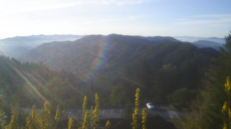
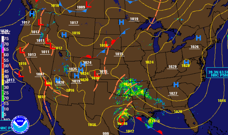
Gorgeous views over Newfound Gap this morning with light fog still hanging there in the background. As we have been fortunate enough to see the past few days, sunny skies and fall-like temperatures will be around again today. Cloud cover will begin funneling in this evening and overnight as moisture pushes into the area. A look at the latest surface map shows a high pressure system that has nosed in from New England. As remnants of Beta work eastward, this high will break down and work out. Beta will keep moisture locked in the later half of the work week before a second system brings additional shower chances this weekend and early next week. Model guidance paints the story the next couple of days. As remnants of Beta work in, shower chances increase from south west to northeast. Thursday and part of Friday will be our wettest days will rain totals in Middle TN up to 3+ inches and east Tennessee nearing 1 inch. Flash flooding potential is something on our radar for the Plateau so stay tuned and take the proper precautions. Enjoy what's left of the sunshine today as cloud cover and rain chances increase in the days ahead. We will also see temperatures increasing back into the 80's before another swift cold front knocks things back into the 70's (and even 60's) by the end of September and start of October.
1 Comment
Leave a Reply. |
Your trusted source for everything weather in East Tennessee.
Social Media
|


