|
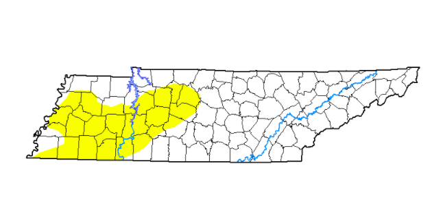
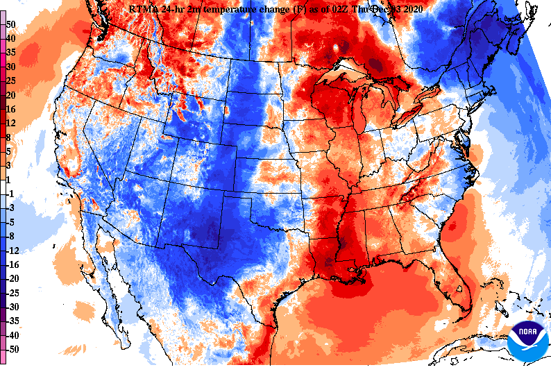
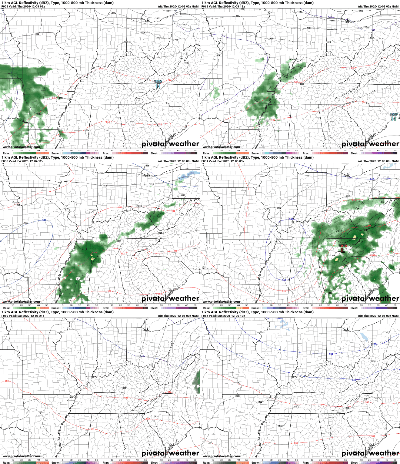
Another chilly morning is here with current temperatures in the mid to upper 20's (some improvement since this time yesterday). We will also see a jump in high's with things rounding out in the low to mid 50's this afternoon. An increase in cloud cover is expected as showers find their way back late tonight and into Friday. A look at the latest drought plot for Tennessee has much of Western Tennessee under abnormally dry conditions. The latest data is expected to come out later today, so we'll include that in the forecast tomorrow for comparison. I would expect better results, and at the very least, the same outlook given the rain and snowfall we picked up this week. The good news across the state is the retreating cold temperatures. A more southern flow combined with high pressure (now to our east) will allow for high's closer to average this afternoon. Today and tomorrow temperatures will trend near average before another shot of cool air drops things back down into the mid/ upper 40's through the weekend. This next system won't be a gigantic soaker across the state but most will likely see rainfall through the day Friday. Guidance suggests anywhere from the 3/4" mark up to 1.25". Guidance continues to push for higher amounts as the low trends more northerly, so we will be sure to watch carefully. Overall though, not expecting any impactful conditions for our neck of the woods. If anything, this should help any drought-like conditions we have (again more details into Friday). Enjoy some of those warmer temperatures today as we push back closer to average. We'll see some rain end out the work week tomorrow before drying back out for the later part of the weekend.
0 Comments
Leave a Reply. |
Your trusted source for everything weather in East Tennessee.
Social Media
|


