|
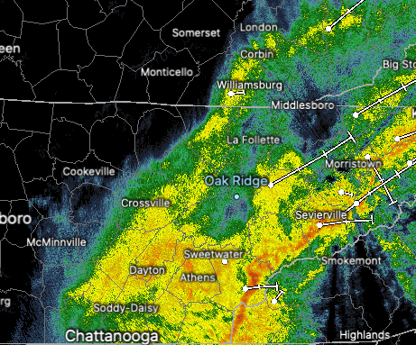
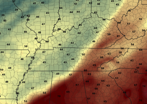
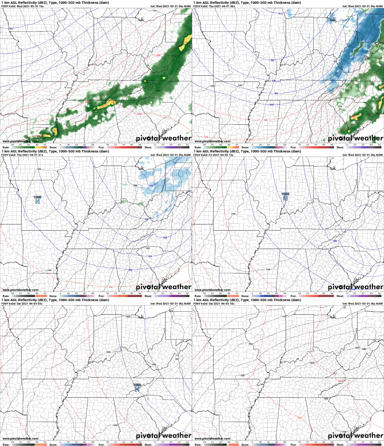
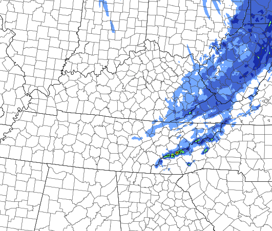
We have started with a wet morning as moderate showers push eastward. These will become more scattered by the early afternoon hours, before clearing begins overnight. A cold front, currently in Western Tennessee, will provide much cooler air the second half of today. Highs are expected to come mid-morning in the mid 60's before cooling temps follow the second half of the day. Looking at a model run of the cold front moving through, you can see how abnormal this is. Temperatures on either side of the front waver 20 degrees + from each other. Much cooler air sticks around for Thursday as highs will be in the mid to upper 40's. Some areas will be lucky to break the upper 30's. Once the moisture from today works through, a much needed dry stent will take hold. A large area of high pressure will dominate nearly all of the USA, leaving dry conditions into Easter weekend. The warming and dry conditions continue into early next week as well. In addition to the rain we see during the day today, snow could also be in the mix. This will be confined to the highest of elevations, of course, but it's not too common to see or hear of snow across Tennessee in April. Valley locations could see a flake or two, especially into tomorrow morning, but nothing will stick. However, the highest peaks of the Smokies could see several inches. Looking at the "worst-case scenario", totals between 8-12" can be seen across the Tennessee/NC border. Blue values indicate 1-2". Again, this is the worst-case scenario, so most will likely see a few flakes fly without anything sticking (for areas like the plateau). High-resolution short term guidance suggests chance to see light lake-effect snow off of Lake Michigan as the flow is northerly tomorrow. This could lead to a few bouts of afternoon flurries across Eastern Kentucky and Tennessee. A BIG cool down will take place tomorrow with temperatures ranging 15-20 degrees below average. Fortunately, this is only temporary as high temperatures gradually warm Friday and through the weekend. Easter should be sunny and comfortable with highs around 70 degrees. Pre-recorded for 5pm show
0 Comments
Leave a Reply. |
Your trusted source for everything weather in East Tennessee.
Social Media
|


