|
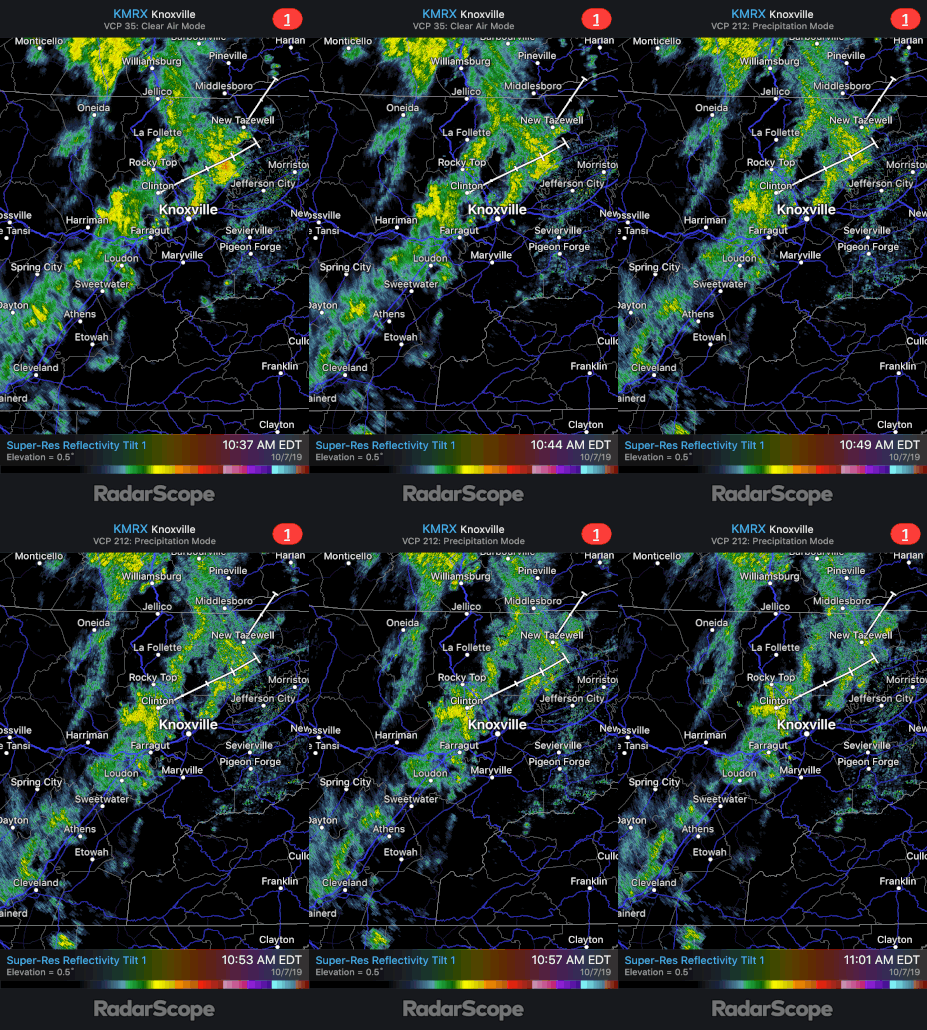
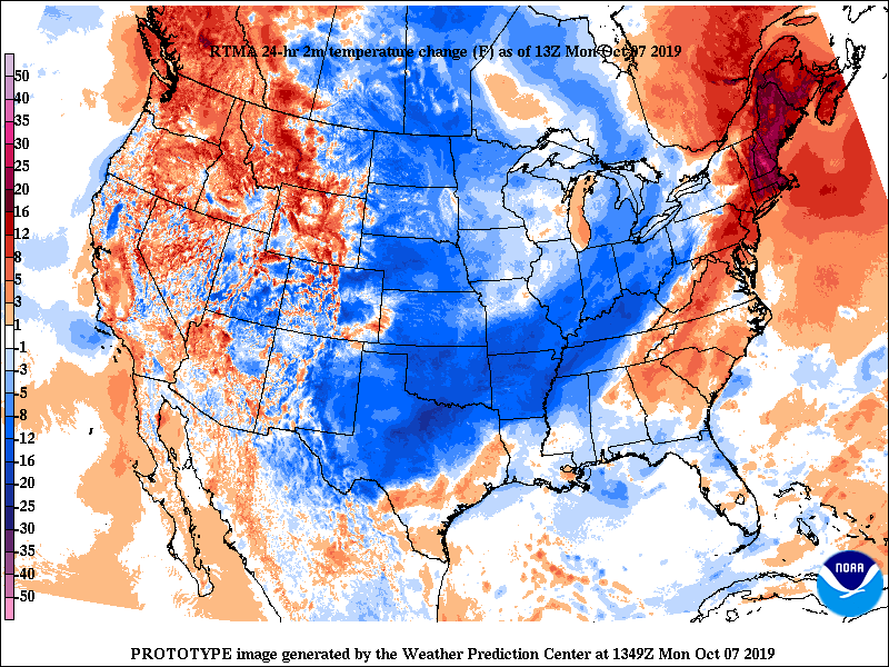
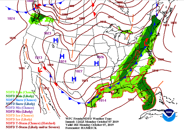
We started wet and dreary this morning, but given the extremely warm and dry conditions we have faced, I'm sure many of us will take it. Those rain showers are continuing across the valley into the lunch time hour, but will begin to thin out by later this afternoon. A cold front is continuing to slide through the area, dropping temperatures 8+ degrees from this time yesterday. Temperatures will continue to fall throughout the day as the front slides through. Tuesday will be a bit cooler with highs in the lower 70's. Model guidance shows the cold front working through, as well as the rain associated with the low to our north. This system will move out rather quickly as a high pressure system will work back in Tuesday afternoon and stick around through the remainder of the work week. Note* Another winter-like system to move through the rockies and upper midwest later this week, bringing us much cooler temperatures into the weekend and a chance for some rain Friday into Saturday. (looking at highs in the 60's and lows in the mid 40's Saturday). The latest model guidance shows the light to moderate showers throughout east TN. As we get into the afternoon and overnight they will become more isolated, eventually clearing out by Tuesday afternoon and welcoming back some sunshine. Mostly sunny skies to remain through Friday before the next system from Canada works in to the north. Thats all we have on your Monday, stay safe and dry the remainder of the day!
0 Comments
Leave a Reply. |
Your trusted source for everything weather in East Tennessee.
Social Media
|


