|
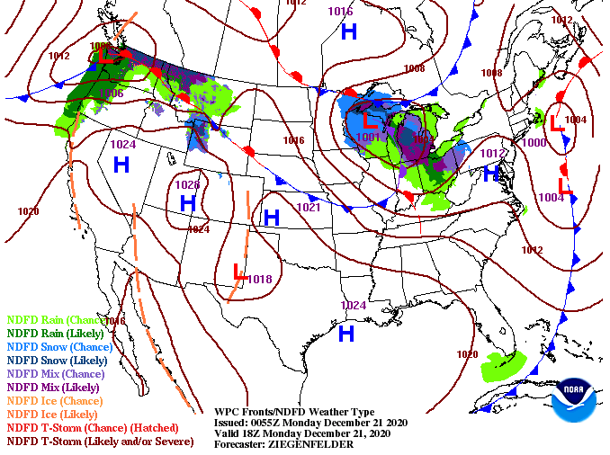
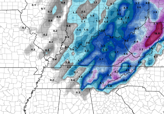
Happy Christmas week to everyone! We are starting with a bit of fog and cloud cover overhead and temperatures in the 30's. As we work through this week, a wild weather pattern is in store. To start, things are calm and peacefully early this week with sunny skies gradually moving into today and sticking around tomorrow. "Warm temperatures" (above average) will also accompany with high's in the 50's today and tomorrow. As we push into the mid-week timeframe (Wednesday) an Arctic front will begin its south and eastward trajectory. As the name implies, COLD air will surge in Christmas Eve. We will start in the form of rain overnight Wednesday and into Thursday before the transition to snow showers on Thursday. For those who follow us on social media, you know we have have hinted and discussed this for a few days now. Given the pattern and data, that four letter word: s-n-o-w is in the forecast. What does that mean as it relates to chances, amounts, and duration? That is still up in the air as of now but guidance is continuing to focus in on a uniform solution. For now, anticipate sunshine now through early Wednesday before cloud cover arrives and eventually rainfall Wednesday night into Christmas Eve (Thursday). A transition will take place later Thursday as cold air surges in. I would like to first say this is not the forecast we are calling for, instead this is one (of several) model outputs from last night. There have been many changes over the past 3 days in regards to this system with some outputs suggesting no snow to others suggesting 10 inches. This is a big reason why weather is challenging to forecast for 6+ days out (especially winter weather). Given the data though, I am confident in rain transitioning to snow and the potential for somewhat of a White Christmas in the mix. As more data comes in and a better agreement in the models & data is reached we'll have more confidence in a forecast. Stay tuned for updates on here as well as social media as it relates to the winter weather expected Christmas Eve and into Christmas day. For now, enjoy the first day of Winter with above average temperatures and improving sky conditions. Lastly, those without plans this evening, Jupiter and Saturn will appear to merge, so be sure to catch that just after sunset in the southwest.
0 Comments
Leave a Reply. |
Your trusted source for everything weather in East Tennessee.
Social Media
|


