|
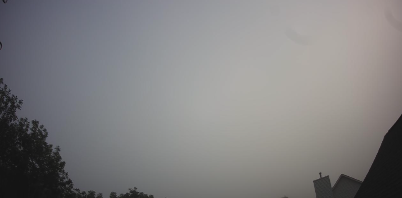
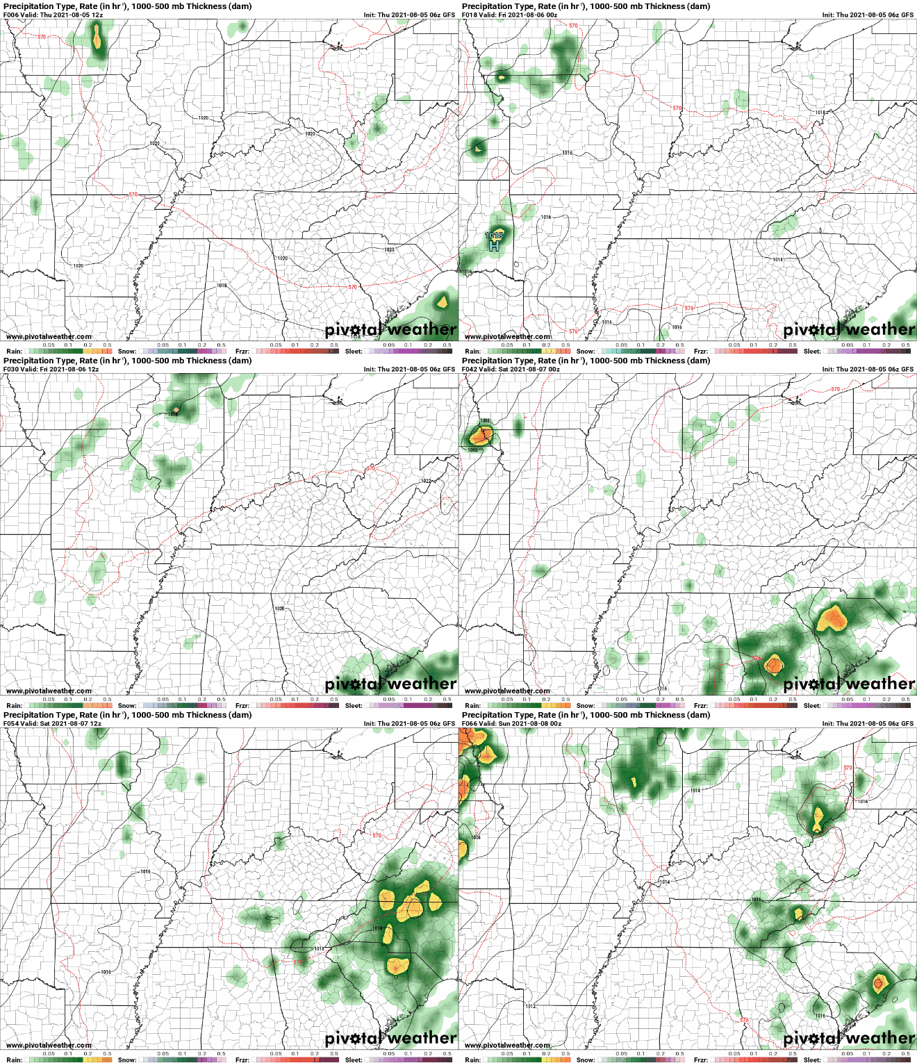
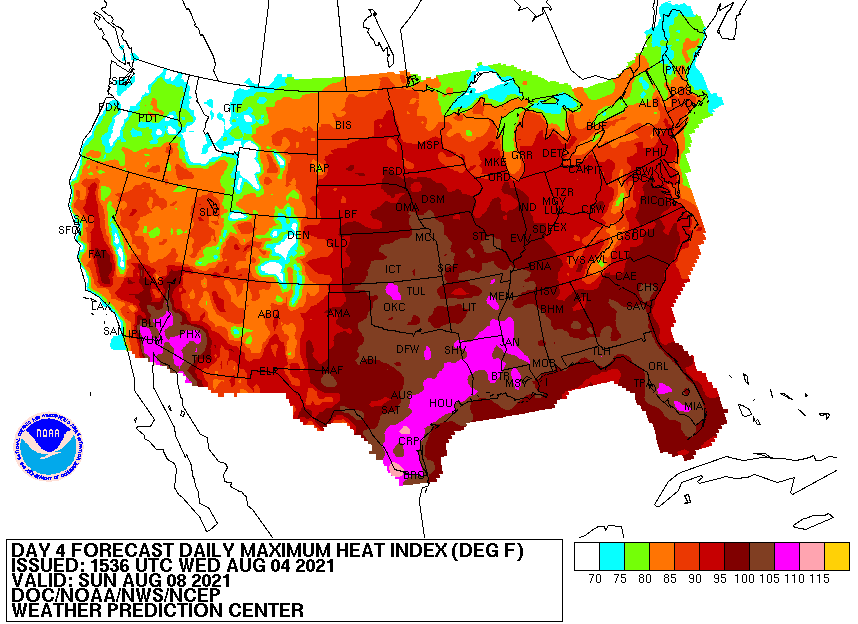
Views from the Stansfield webcam this morning depict patchy fog across the area. Take a little extra time this morning if you are on your way to work and/or school. This should begin to clear up within the next hour or two. As for rainfall, it will continue to be few and far between. Upper level spokes of energy will bring daily rain/storm chances but those will be limited to the afternoon and early evening and scattered at best. We'll likely be our driest today with the "best" rain chances on Saturday. Again precipitation will be limited over the next 5 days with summertime afternoon pop up showers/storms the main story. Moving forward, we have mentioned the warming trend expected in the coming days. Looking below, these are the expected heat indices nation-wide. As usual, the Tennessee Valley will be the warmest of the East Tennessee locations with feel-like temperatures likely between 95 and 100 degrees, Sunday and into early next week. We have been on the cool side the past couple of days, but don't forget about your heat safety as we move forward. Today should be fairly pleasant for most with mostly sunny skies and highs in the mid to upper 80s. A stray shower or two can't be entirely ruled out for the higher elevations, otherwise most will stay dry today. Pre-recorded for 5pm show
0 Comments
Leave a Reply. |
Your trusted source for everything weather in East Tennessee.
Social Media
|


