|
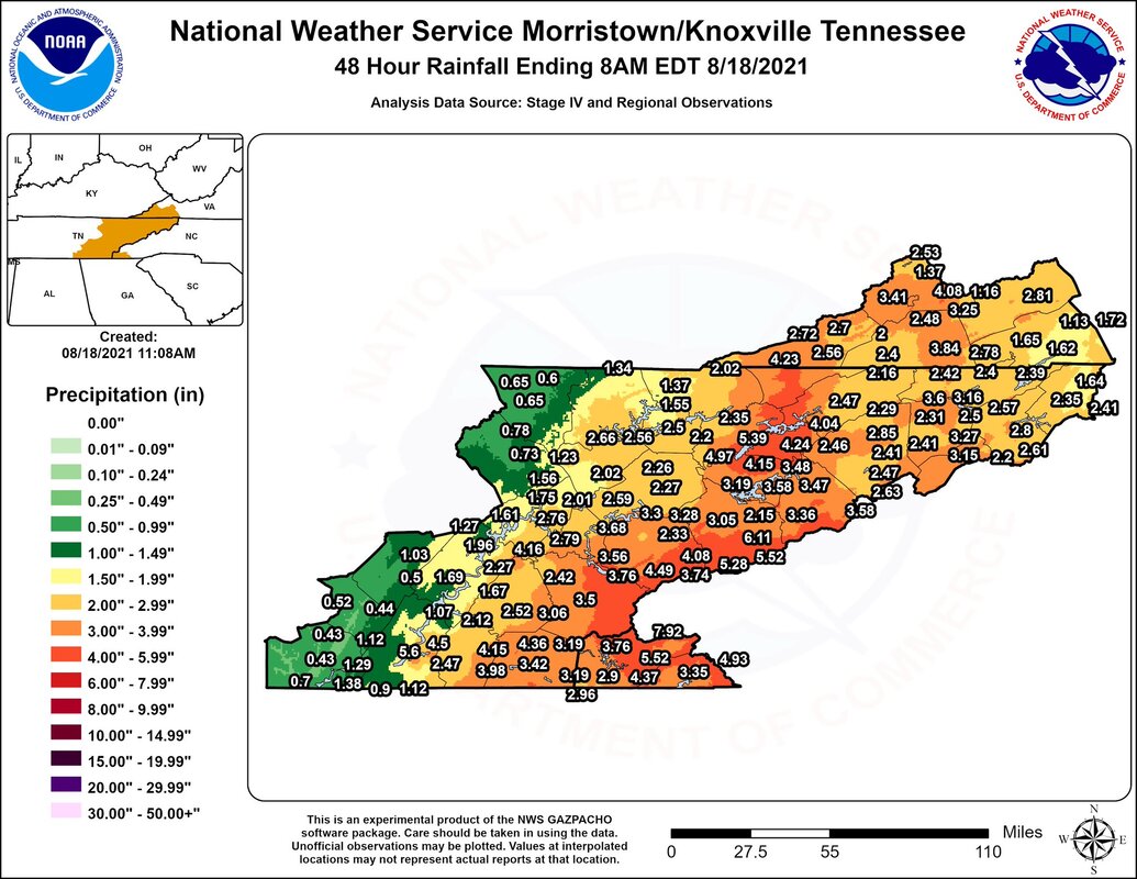
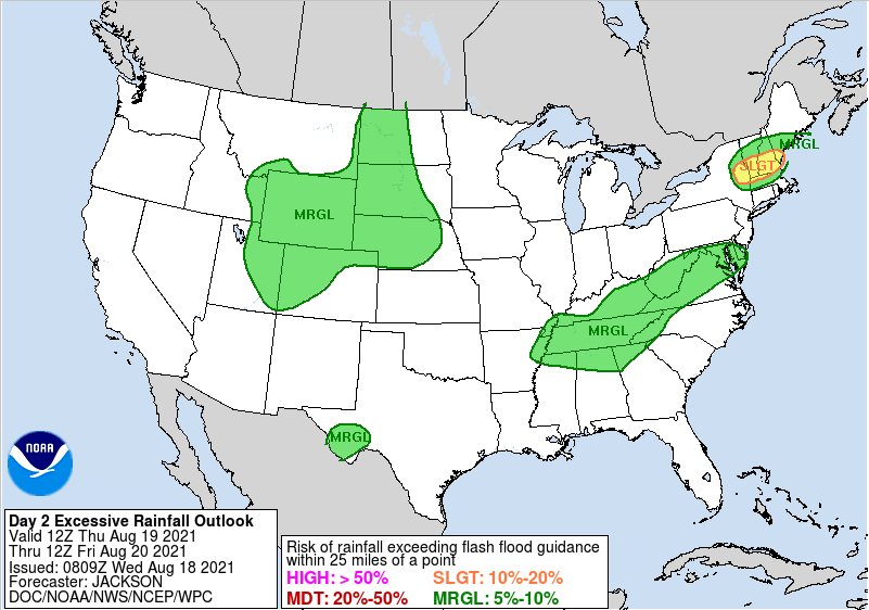
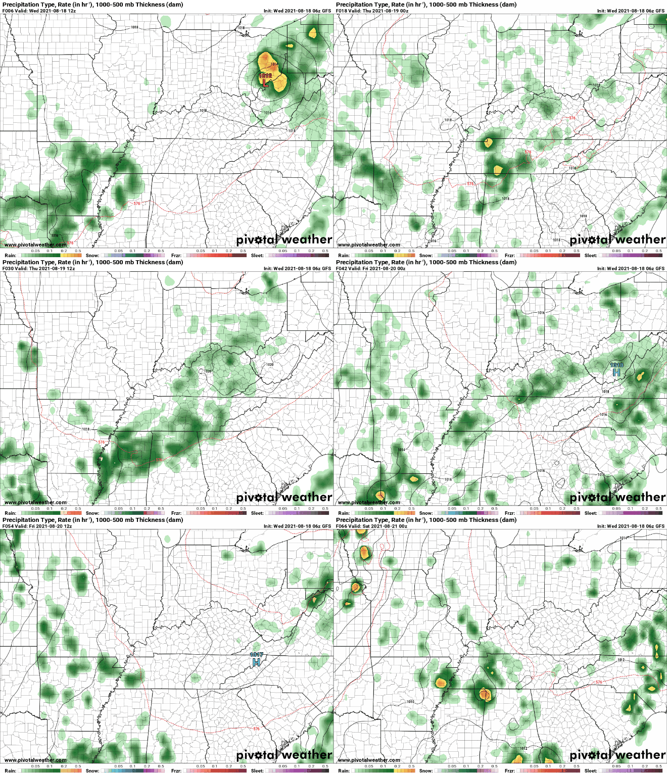
Official rain totals from the remnants of Fred are now in from the NWS. Looking below, you can definitely see the rainfall gradient from west to east. High rainfall totals were along the high terrain with some locations near 8 inches. Further west across the valley, most locations averaged between 1.5 and 4 inches. Unfortunately, more rain is on the way. Given the heavy rainfall picked up through the day yesterday, a Marginal risk for flash flooding has been highlighted for the entire state of Tennessee. Luckily, we are dry through much of the day today would should help things out a bit. Model guidance depicts our next rain maker streaming in from the southwest. This is expected to dump another 0.5-1" Thursday and into parts of Friday. By the weekend, we return to a more summer- afternoon pop up shower/storm scenario. Temperatures tomorrow and Friday will be right on par with the norm (low to mid 80s) before warming back up into the upper 80s this weekend. Enjoy today, but be on the lookout for moderate rainfall again tomorrow.
0 Comments
Leave a Reply. |
Your trusted source for everything weather in East Tennessee.
Social Media
|


