|
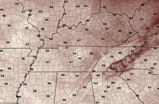
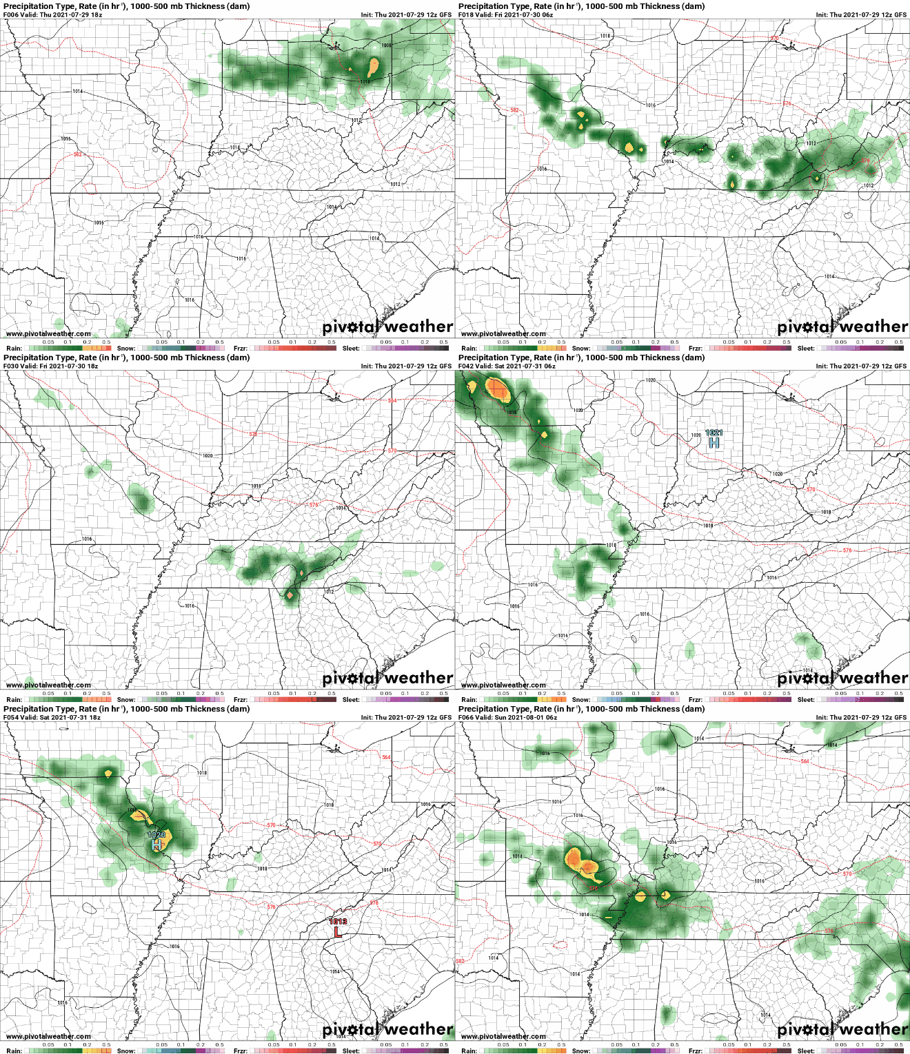
Good afternoon! Another hot one is in the plans for today. Below is the forecasted highs from the NWS today with most valley locations expected to be in the upper 90s. For reference, the record for today in Knoxville is 101 (set back in 1952). Though I don't think we will beat that we will likely be close before days end. We will continue to emphasize your heat safety today and tomorrow as temperatures and feel-like temps will be in the 90s and triple digits. As we work ahead, a cold front will drop down from the north. This will bring not only a relief from the heat into the weekend, but also the chance for showers & storms Friday and through the weekend. With the front not arriving until late Friday into Saturday, temperatures will again be hot and muggy to end the work week tomorrow. Temperatures will more than likely be the hottest of the summer this afternoon before cooling Friday and returning towards normal by the second half of the weekend. We will ride a more "normal" train into next week with highs in the mid to upper 80s each day. Pre-recorded for 5pm show
0 Comments
Leave a Reply. |
Your trusted source for everything weather in East Tennessee.
Social Media
|


