|
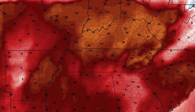
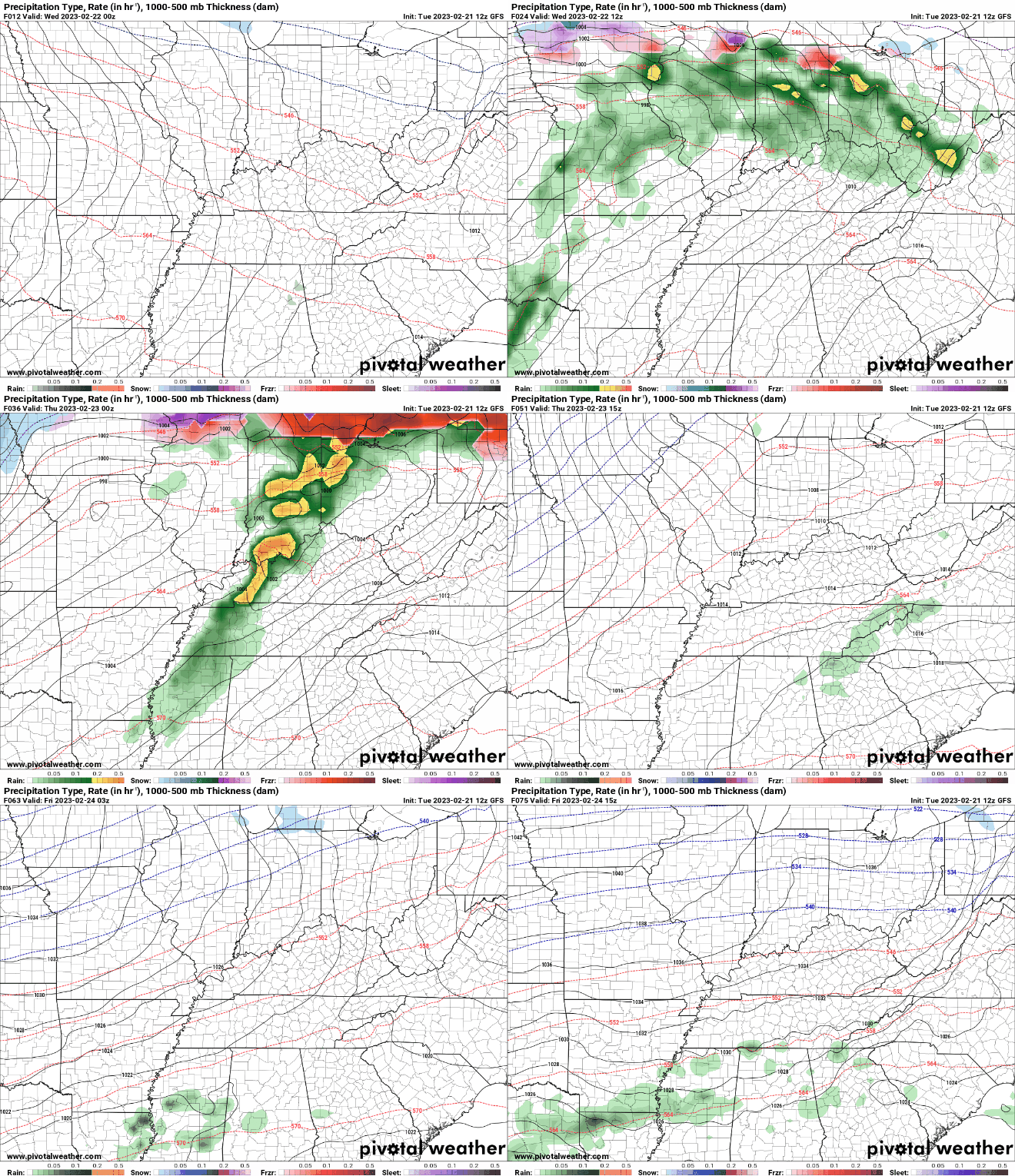
Good afternoon! Cloud cover slowly cleared last night and that has lead to mainly high clouds this afternoon. This will be short lived though as a warm front is set to build north tonight bringing isolated rain chances and mainly increased cloud cover. If you haven't been outside yet, open that door. Temperatures currently range in the 60s, with highs to warm into the upper 60s and low 70s before days end. With the warm front en route tonight and tomorrow, temperatures will soar even warmer, with near record highs forecast. As of now, the record high in Knoxville for Wednesday is 81 (set in 1963) while Thursday is 83 (also set in 1963). Though we may struggle to achieve record breaking temperatures tomorrow, Thursday we definitely stand a close chance. It will come down to how much sunshine we see through the day and if winds are too gusty to maintain warmer surface temperatures. Either way, it's going to be very warm for this time of the year today through Thursday. As far as rainfall is concerned, a dynamic and unsettled pattern will remain in place. The warm front will allow for increased clouds tonight along with isolated shower chances. Activity will generally hold off through the day tomorrow, before activity returns best Wednesday night into Thursday ahead of a cold front. Once this passes through later Thursday, cooler air (back in the 50s) returns on Friday. Another system then brings shower and possibly storm chances back in Friday night and into the weekend. As of now, flash flooding with this later series of disturbances is low, but something we can't rule out. That will wrap it up for today. If you haven't already, be sure to head outside and enjoy the warm air and sunshine. The Spring-like warmth will stick around through Thursday, before more reasonable (but still warm) highs return Friday and Saturday. Pre-recorded for 5pm weather broadcast
0 Comments
Leave a Reply. |
Your trusted source for everything weather in East Tennessee.
Social Media
|


