|
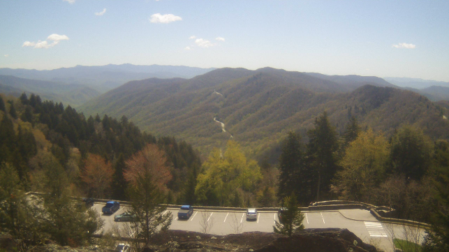
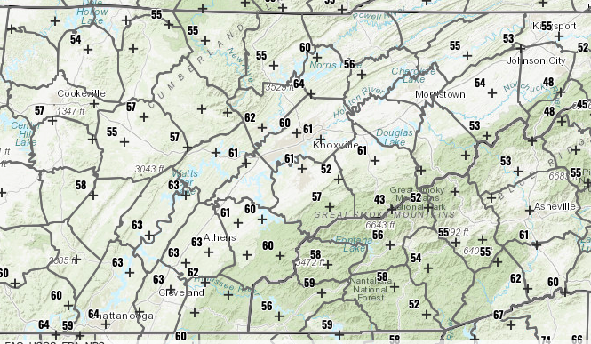
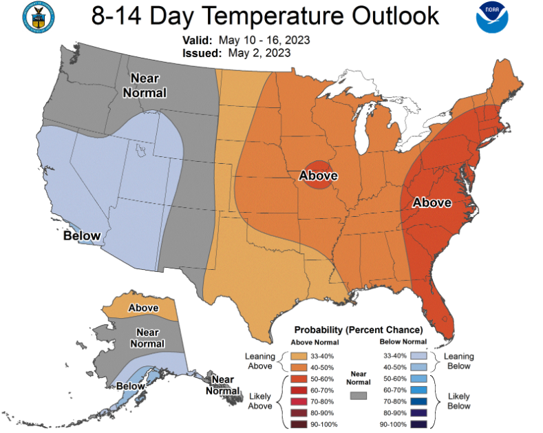
Beautiful across the Smokies this afternoon with temperatures across the Volunteer State expected to remain seasonably cool for the day. The good news is warmer air is on the way, with highs Thursday topping out in the lower 70s. This is still a few degrees below our usual average, but it's a push in the right direction. We'll have another cool drop off Friday with rain/clouds, then right back to warmer air. We will even see above average temps by early next week. Speaking of those temperatures, here are the current values as of 1 pm. Most valley locations are hovering around the 60 mark, while the plateau is still in the mid to upper 50. We will warm a few more degrees, with highs topping in the low to mid 60s. Longer out, a much needed warming trend is increasingly likely. The Climate Prediction Center (CPC) highlights a higher probability of above average temperatures into mid May. Not shown as well, near to slightly above average precipitation will be possible during this time. In terms of rainfall across East Tennessee over the next several days, we will have a few bouts. Up first, and with the best chances, Friday evening into Saturday. Showers and a few storms are likely, with lingering isolated to scattered chances into Sunday and maybe early next week. Amounts won't be soaking, but a general 0.5 to 1" is possible Friday through Sunday. I will finish with saying lows tonight are expected to dip down into the mid 30s to around 40 degrees. For those usual cooler spots, have a way to protect/cover any outdoor tender plants. Patchy frost will be possible into Thursday morning. Pre-recorded for 5pm weather broadcast
0 Comments
Leave a Reply. |
Your trusted source for everything weather in East Tennessee.
Social Media
|


