|
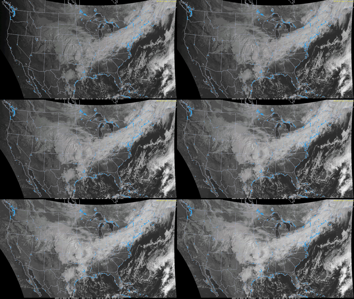
Happy Friday! Many of you woke up this morning to mostly clear skies, but those clouds have managed to find their way into our area. Expect these to continue increasing throughout the day. We could see a sprinkle or two in spots this afternoon and tonight, but expect for most of the region to stay dry. For Saturday, expect mainly overcast skies and a high in the mid 70's range. Saturday night is when the rain, associated with a low, will reach east TN. Moving into Saturday night we will see those rain chances increase, as I briefly stated above. The timing of this event will be mainly Saturday night. The rain is set to arrive sometime between midnight and 3 am and last into the late morning/early afternoon hours on Sunday. This may be good sleeping weather for some, as this line of storms is likely to produce some heavier rains and thunderstorms at times. At this point, the severe threat is not there due to the lack of Convective Available Potential Energy (CAPE), moisture convergence, and many other important ingredients. I will let you know if any of this changes over the next day and a half. Back to the rain...following the showers will be some cooler temperatures, due to a cold front. This cold front will drop temperatures converting some rain into frozen precipitation in the higher elevations. Expect no accumulations at all for east TN but there is a chance at some traceable amounts in the highest elevations of the Smokies. After the rain clears out Sunday, temperatures will be a bit cooler (in the lower 50's) and clouds will begin moving out. Monday we look dry with the sun returning before Tuesday we could have another chance of rain. I will update you more on what you can expect this coming week sometime this weekend, until then, stay dry and don't forget your light coats!
0 Comments
Leave a Reply. |
Your trusted source for everything weather in East Tennessee.
Social Media
|


