|
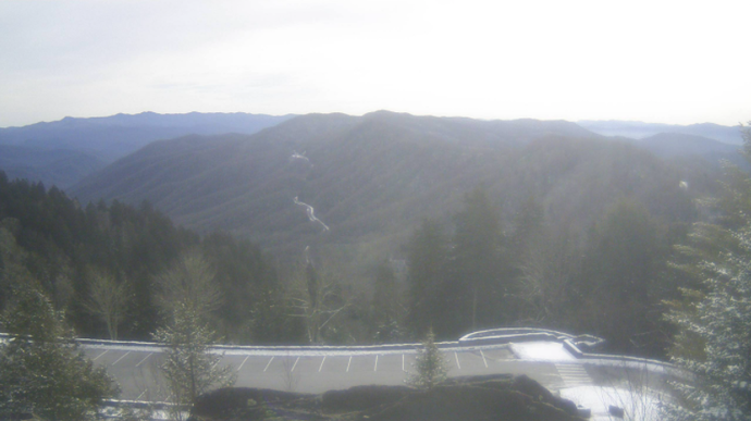
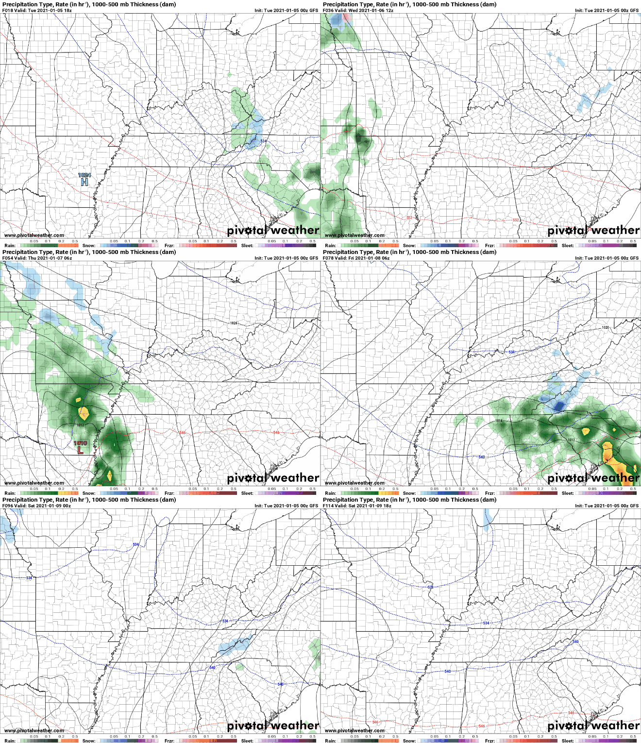
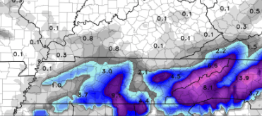
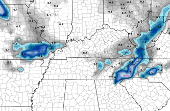
Good afternoon all! Views from Newfound Gap show some left over snow from yesterday morning, but otherwise, partly sunny skies overhead. Satellite shows thin high clouds working in ahead of our next weather maker. High's today should top out in the mid 40's with cloud cover continuing to increase this evening and overnight. Looking head, a very dynamic system is on the way. This system will continue on a southward trajectory before working back north and east. As it does so, rain will initially be what is falling across the area Thursday evening. As temperatures drop and cold air works in, there could be a transition over to some wintry mix/snow. As of now, model data is all over the place so this will highly depend on the timing of the cold air. The likely scenario, as I see it now, is rain transitioning to mix late for the valley. This could turn to some light snow showers/flurries by the morning hours of Friday, with a few impacts possible (icy roads) across the area. The higher confidence lies in the higher elevations (Smokies & Cumberland Plateau). This is where snow will likely accumulate Thursday night into Friday morning. To get an idea of what I am talking about, here are two models with very different solutions. The NAM (left) has cold air arriving much sooner than the GFS (right) who is the slowest of the solutions. We will continue to keep you updated as we move closer in time, but I believe the higher elevations will be the biggest concern as valley locations will stick mainly with rain to a mix late (changes likely ahead). For those looking ahead, this weekend looks pleasant with sunshine and high's in the low to mid 40's. Have a great Wednesday and tune in for updates here and on social media for the latest associated with our next weather maker. Pre-recorded for 5pm show
0 Comments
Leave a Reply. |
Your trusted source for everything weather in East Tennessee.
Social Media
|


