|
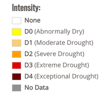
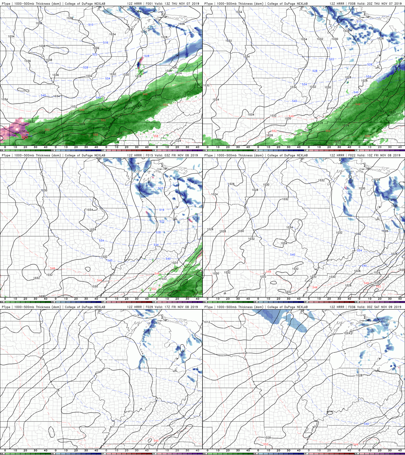
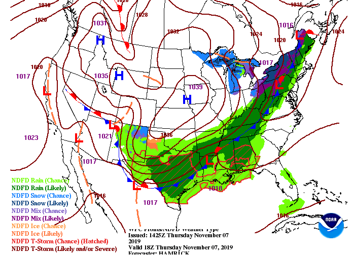
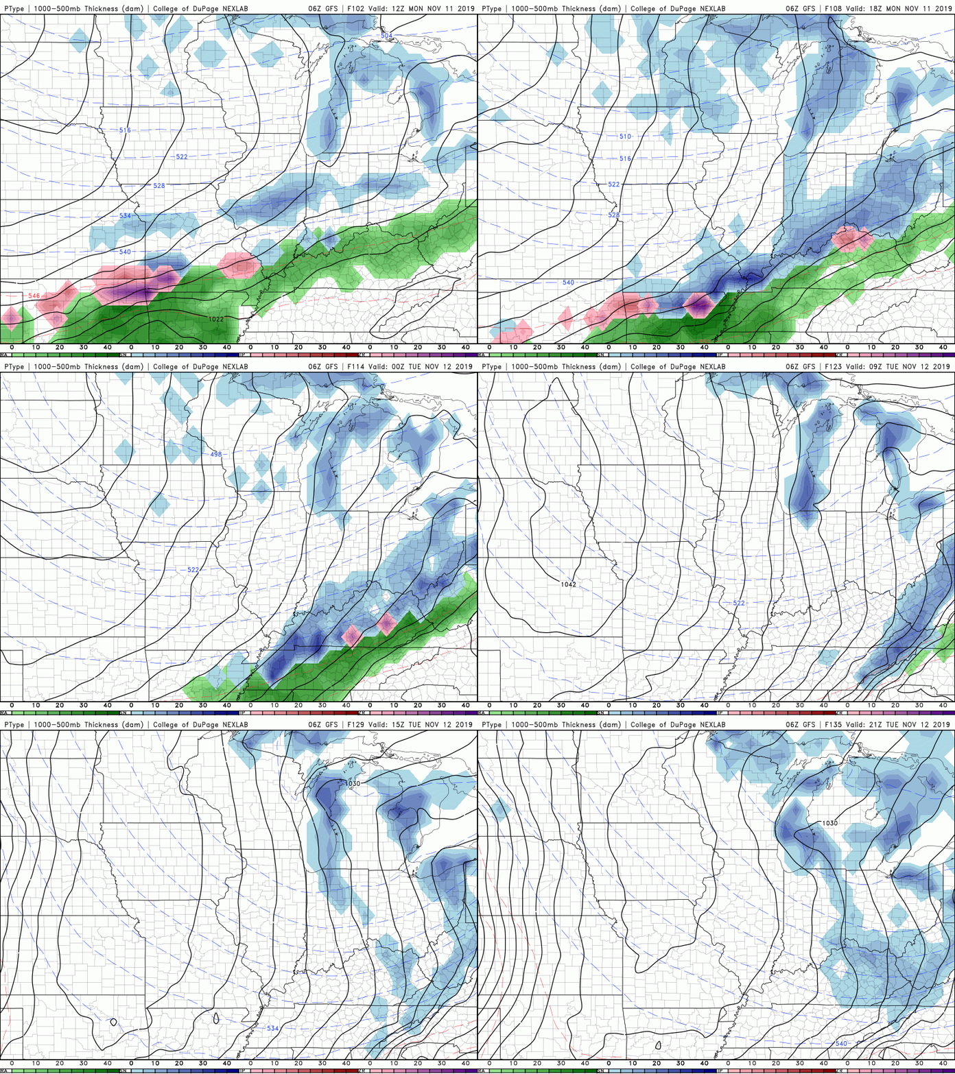
Kicking off Thursday with some improving news on the latest drought map. If you recall just two weeks ago parts of Chattanooga were under extreme drought conditions. The latest release shows the impacts all the rainfall has had with moderate drought the highest intensity we have across the state. With another round of showers today, expect these conditions to only improve. As for the rain expected today, showers will continue moving in the next hour or so and carry through the evening hours. With a cold front back side, much cooler and drier air will funnel in tonight and into Friday. The latest surface map depicts the cold front to our west. This will slide in overnight tonight forcing moisture rich clouds east and clear skies to return to close out your work week. Cooler temperatures will stick around into the weekend before our next system makes an appearance Monday afternoon. As for this weekend, a high pressure system will keep things dry and mostly sunny. Cold front #2 could be an interesting setup as we peak into early/mind next week. Showers will arrive the later half of Monday where we could see a transition to freezing rain & snow overnight. With this next system we are NOT expecting any accumulation given the latest data and trends. With that said, accumulation is possible in the higher elevations (NE TN, Smokies, and Eastern KY). Though we won't have any accumulating snow in the valley, you will likely see a few flakes overnight Monday and into Tuesday. The main story line with this next system is the abnormally cold temperatures we will see mid week. Tuesday and Wednesday we will likely have high's in the 30's and overnight low's in the teens and 20's. Continue to check back for the latest development on this second system. Stay dry this afternoon and don't forget your coats tomorrow morning as it'll be a chilly one. Have a good day!
0 Comments
Leave a Reply. |
Your trusted source for everything weather in East Tennessee.
Social Media
|


