|
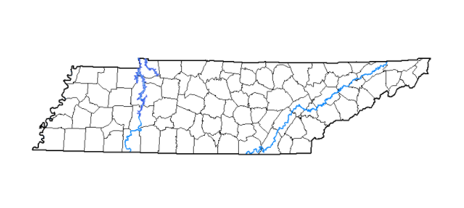
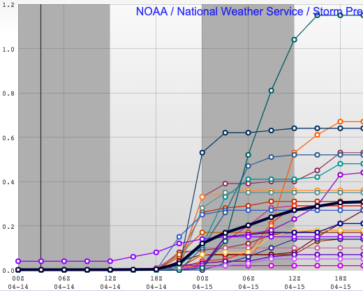
The latest drought map for the state is back to normal. This is a change from the abnormally dry spots we saw for numerous weeks across Western and Middle Tennessee. The heavy rainfall and flooding we saw a few weeks ago helped bring things back to average. As the pattern shifts, the second half of April is expected to be more dry and thus, could see drier spots return. Breaking down what you'll see today, an elongated band of precipitation will arrive. This NE to SW orientation will allow for showers to hold off until the afternoon before bringing upwards of half an inch to East Tennessee. Following, clearing will quickly take place as the front shifts eastward. High pressure will then build in for Thursday and Friday before another system brings the potential for rain Saturday and Sunday. This next round looks unimpressive, with shower chances dwindling as the feature works east. For now, anticipate the chance for some showers this weekend, but they look pretty minimal. Generating an ensemble graphic, the average between the ensemble members is right around 0.3 inches of rainfall today. Some locations could see upwards of 0.5 to 0.6 as repeated showers work across the area, but this won't be a "washout" type of event. Rain into the weekend will likely be much less with some areas only picking up a few one-hundredths. Outside of the rain we see this afternoon, the biggest change will be the temperatures. Our average high this time of the year is the low 70's and highs will range from the upper 50's to low 60's tomorrow afternoon. We rebound a bit Friday as high pressure arrives, but still remain below average. Pre-recorded for 5pm show
0 Comments
Leave a Reply. |
Your trusted source for everything weather in East Tennessee.
Social Media
|


