|
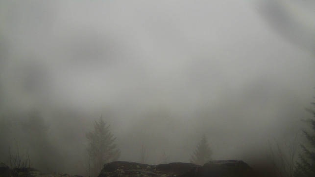
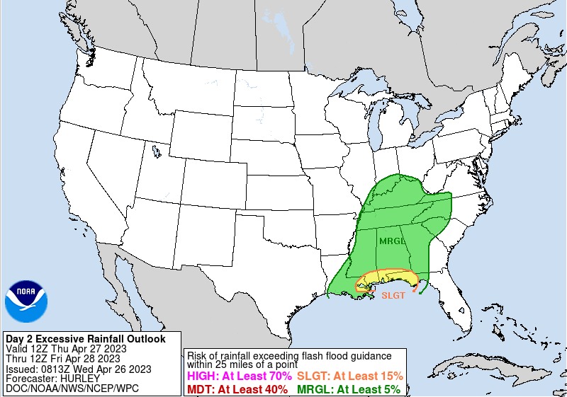
The lunch time hour is filled with lots of clouds in the valley, while fog and patchy drizzle are aloft across the Smokies (below). A few light showers are seen on radar on a line from Loudon to Gatlinburg to Etowah and moving northeast with time. This will exit over the next couple of hours, where cloudy skies will prevail through the remainder of the day. Highs will remain cooler than average, topping out in the mid 60s. Looking forward, we will generally veer dry tonight before rounds of showers return through Thursday. A low pressure system will glide across portions of the state, bringing widespread showers and a few storms. This will last through Thursday night into Friday as a cold front then slides across the area. With the passage of this feature, briefly drier conditions will be in for Saturday, followed by another round of showers Saturday night into Sunday ahead of a secondary front. So in total, umbrellas needed tomorrow and the first half of the day Friday, and then again Saturday night into Sunday morning. We have talked a bit about this in our previous posts this week, as flooding potential is very low but not entirely ruled out. WPC seems to agree, suggesting at least a 5% risk is necessary for the whole state. Rainfall amounts will vary between 1-2" today through Saturday, with another 0.25" or so Sunday. Given the dry conditions we had last week and the days since our last bout of rain, we should fair okay but we can't be too complacent to the low risk. That will do it for today. Unsettled weather will find us through the next couple of days with cooler air to again return by Monday of next week. Keep the umbrellas close by! Pre-recorded for 5pm weather broadcast
0 Comments
Leave a Reply. |
Your trusted source for everything weather in East Tennessee.
Social Media
|


