|
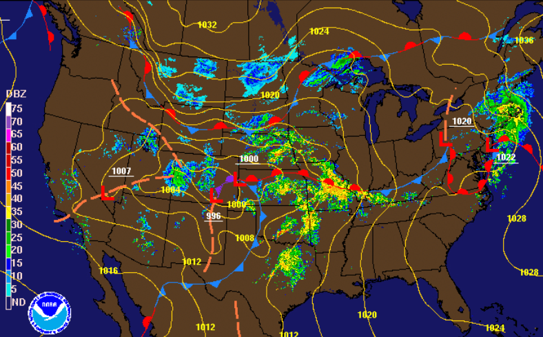
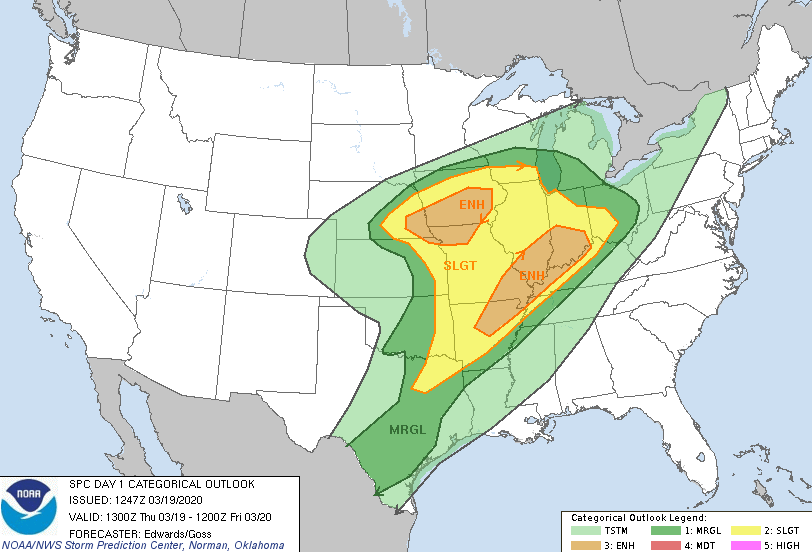
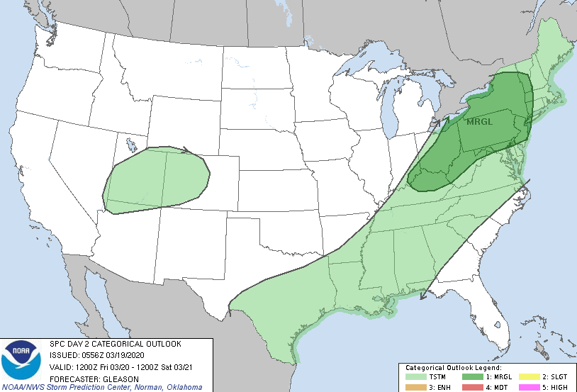
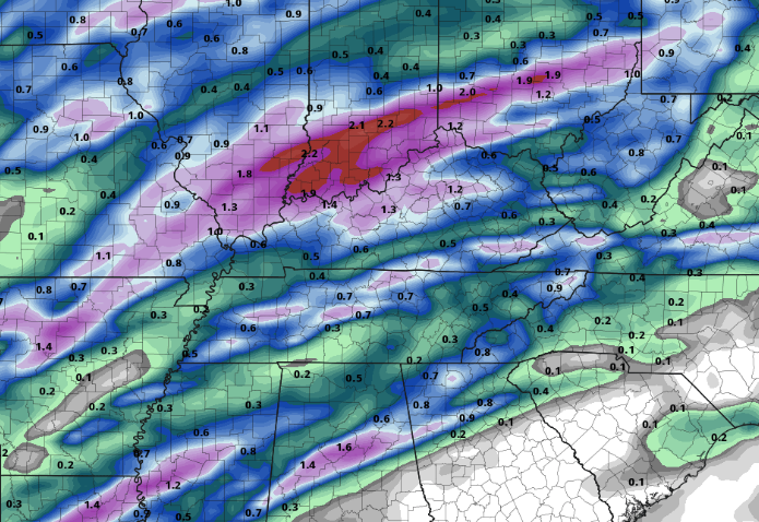
Satellite is picking up on cloud cover thinning out across east TN this afternoon. Try to go out and enjoy those warm temperatures and spotty sunshine before rain returns tomorrow. Looking below, our next weather maker lies just to the west. The day 1 SPC outlook (bottom left) shows two enhanced notches (category 3/5). If you have friends or family in these areas, let them know the risks and impacts possible this afternoon and evening (anything is on the table). Looking into tomorrow, (bottom right) the SPC has any severe activity to the north and east. As this system works north and east overnight, any instability will quickly break down as lines of showers work in tomorrow morning. A few rumbles of thunder and gusty winds are possible at times, but any severe weather will stay north. Looking into how this could play out, we'll see showers work in tomorrow morning and continue on and off through the day. As we get into Saturday, a cold front will sweep through drying things out and cooling things off. This will knock high's back down to near average temperatures (upper 50's to low 60's). A few breaks in the cloud cover are possible Saturday afternoon (similar to today) before rain returns Sunday and Monday. As of this morning, we have picked up just shy of 2" for the week and you can expect another 0.5" to 1" by the end of the day tomorrow. Some spots could pick up a bit more rainfall than others with heavier showers/storms, but overall, expect upwards of an inch through the day. Enjoy any sunshine you see today as showers work back in for Friday. Stay dry and have a good end to the work week tomorrow!
0 Comments
Leave a Reply. |
Your trusted source for everything weather in East Tennessee.
Social Media
|


