|
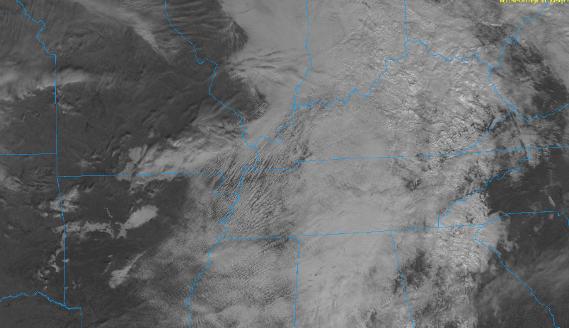
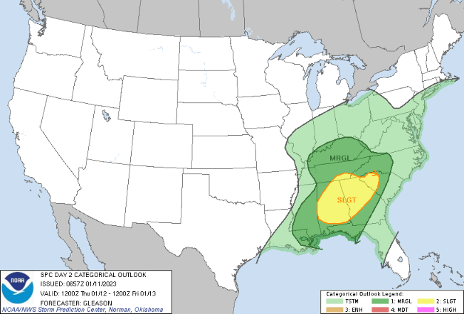
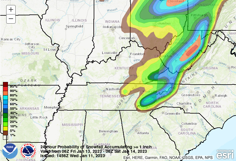
Cloud cover has returned and will remain as we work through Thursday. An area of low pressure currently resides across the Southern Plains and will build northeast tonight and through the day tomorrow. As it does so, a cold front running south will cross the Volunteer State through the day. In terms of locally, frontal passage will take place Thursday evening, allowing for cooler air to usher in just in time to end the work week. For the rest of today, cloud cover will remain with the chance for patchy drizzle/sprinkles and maybe a stray isolated shower. Most stay dry through this evening, with highs warming into the mid 50s. As the potent low and cold front drag east tonight, shower chances increase through the day tomorrow. With energy increasing, a few strong to severe storms are possible. The timeline for these will come early to mid afternoon, before showers diminish late in the day. The Storm Prediction Center's outlook did dip further north and also included now all of East Tennessee and nearly the whole state of Kentucky (with a Marginal). The primary threat will be strong to damaging wind gusts, but an isolated tornado or two can't be ruled out. Have a way to receive warnings if they were to be issued and know what to do if issued. The threat in general is low but not something that we can disregard. After the passage of the cold front, colder air will advect in Friday night. With lingering moisture, some of this will fall as snow. As we discussed yesterday snow accumulations will be little to none in the valley, but there's a better shot across the Plateau and obviously the Smokies. Looking below, this is the probability of seeing an inch or greater into Friday morning. As you can see the northern valley and foothills have a very low shot (5%) but one nonetheless. Given the current data and trends, here is our outlook pending some changes: Plateau: A few tenths, with the best chances across the highest peaks and in those areas further north. Valley: Possible a dusting on grassy elevated objects, mainly across counties bordering KY. Elsewhere just a rain/snow mix will be seen in the air. Foothills: Up to a few tenths (with isolated up to 1") for some, otherwise no accumulations expected. Smokies: Likely to see accumulations, with the best potential across the highest of peaks. 2-4"+ will be possible in these locations, with well over 8+ inches at the highest elevations. Be weather aware tomorrow! Have a way to receive warnings and have an action plan if they are issued from the National Weather Service. The threat for severe weather is low, but here we are in mid January discussing it (not very common). Have a good one, be safe, and don't forget to keep up with the latest on our Twitter and Facebook. Pre-recorded for 5pm weather broadcast
0 Comments
Leave a Reply. |
Your trusted source for everything weather in East Tennessee.
Social Media
|


