|
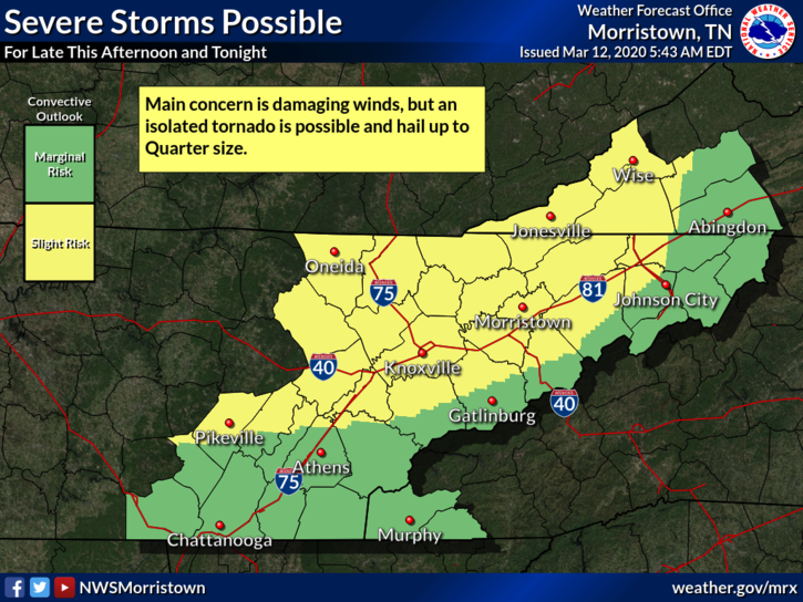
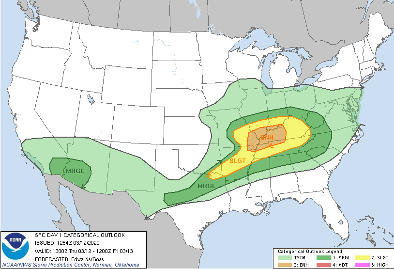
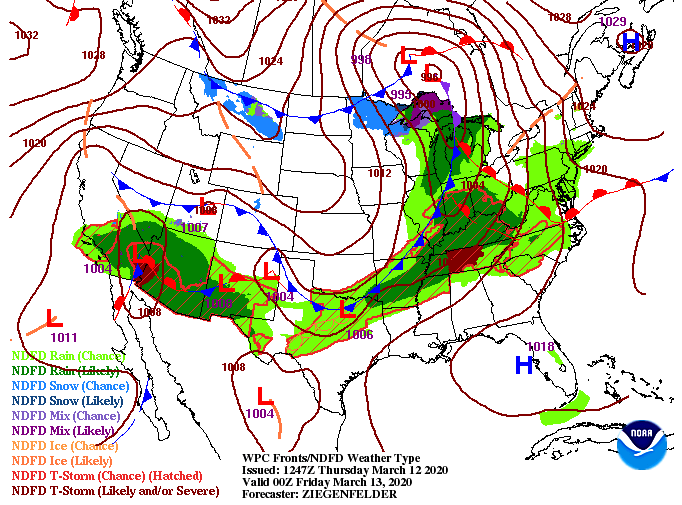
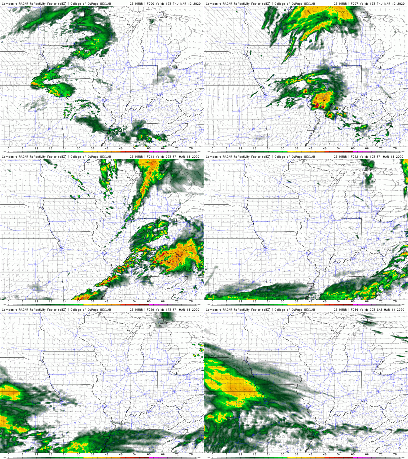
So far today, a few scattered showers have worked through (mainly to the south). As you can see below, the SPC has placed us in a slight risk for severe weather. Just to our north and west, western KY and TN are under an Enhanced risk (3/5). The main threat here at home will be damaging winds but isolated tornadoes and hail up to a quarter in size are possible. As we look into this afternoon, a warm front will be moving through the area. Just like it is described, the warm front will pull in warm moist air from the Gulf (high dew points). Though the severe threat will stay mainly to our west, this is one of the parameters we look at for severe weather. Moving ahead, a cold front will slide through tomorrow providing cooler air for the start of the weekend. Looking at the latest model guidance, scattered showers will continue working through this afternoon. By the later half of the day strong storms will begin developing in central Kentucky and working east. If you notice toward the end of the gif, a bowing-like line of showers/storms is working through western TN. This is the line that poses the best risk for severe weather here at home. Luckily, with its arrival in the evening/overnight hours, the system will be dying down. If storms do stay organized long enough, we could see damaging winds, isolated tornadoes, and small hail for the northern half of east TN. Stay up to date the second half of today through our Twitter and Facebook as we'll keep you posted. Also be sure to have a way to receive alerts from the NWS if watches/warnings are issued this evening. Stay weather aware and have a good one!
0 Comments
Leave a Reply. |
Your trusted source for everything weather in East Tennessee.
Social Media
|


