|
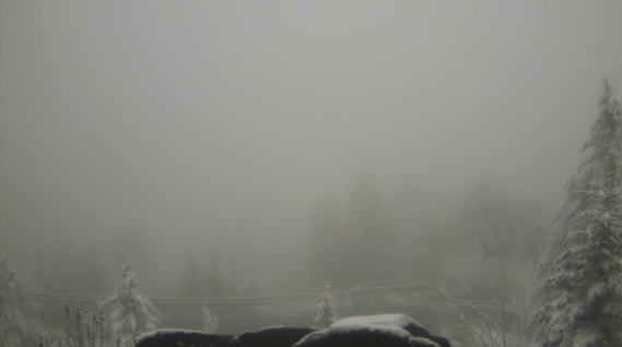
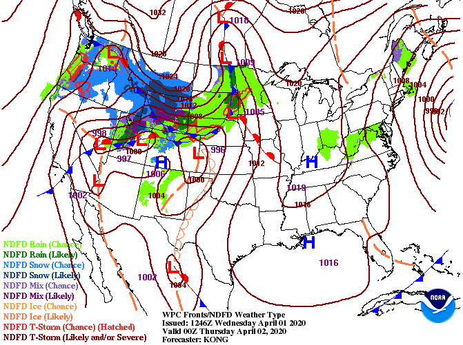
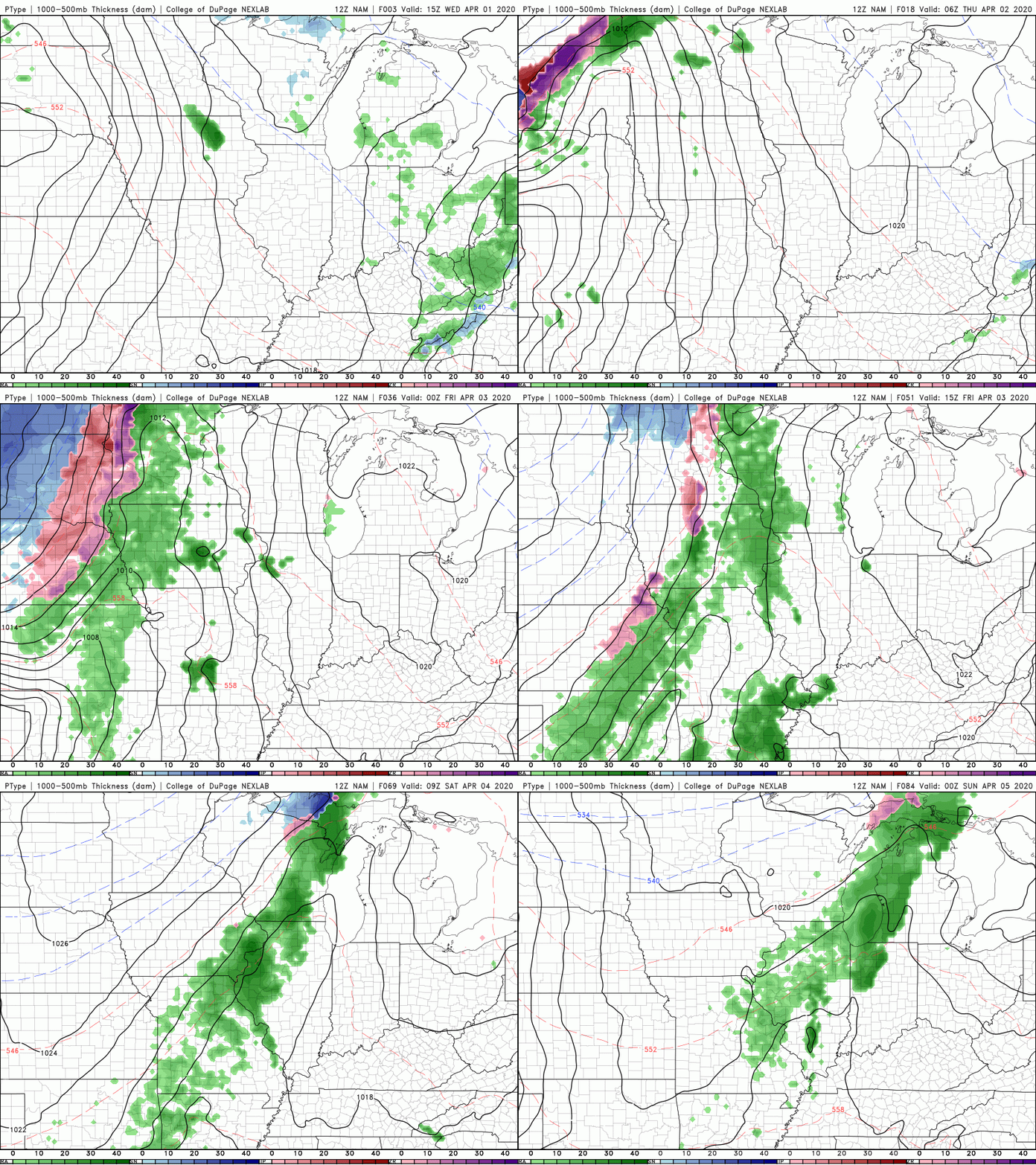
Good afternoon! I hope you are staying warm once again today as high's will top out in the mid 50's. If we look into the Newfound Gap area this morning, a much different scene with a fresh 1-3" of snowfall across the area. As we move into the days ahead, a high pressure system will clear things out making way for sunny skies and warming temperatures. We'll begin to inch our way back to average high's with tomorrow in the mid 60's. Warming temperatures continue into Friday as well with high's in the lower 70's. Model guidance shows a rather uneventful next few days as mostly sunny skies will be the main story across the region. As we work into the later half of Saturday and into the day Sunday, an isolated showers or two is possible across the area. Our best chance for showers doesn't return until Monday and early next week. It is important to note areas of patchy frost are likely to develop overnight. If you have already started planting for the upcoming season, be sure to have a way to protect your plants tonight. Overnight low's in the valley will fall in the mid to upper 30's with the biggest concern for the higher elevations who will be around that freezing mark. If you get the opportunity, go out and enjoy a string of dry and sunny days. Today may be a bit chilly for some but Thursday and Friday will be beautiful with high's in the 60's and 70's. For a full graphical forecast, click "Weekly Forecast" at the top of our page.
0 Comments
Leave a Reply. |
Your trusted source for everything weather in East Tennessee.
Social Media
|


