|
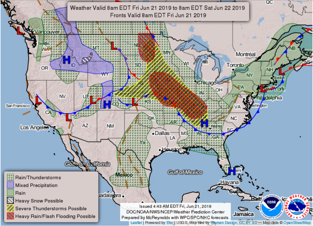
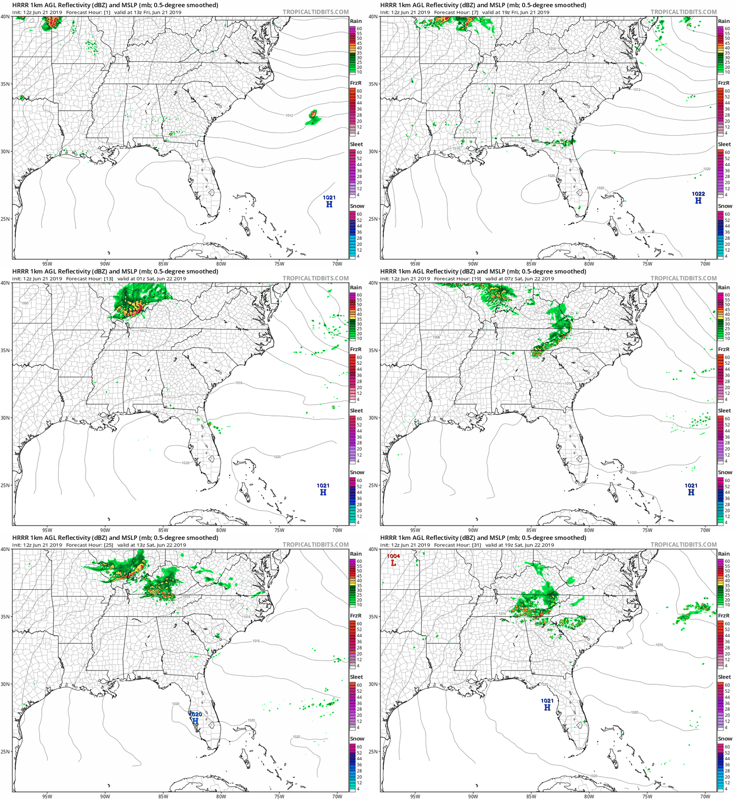
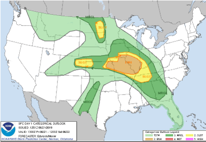
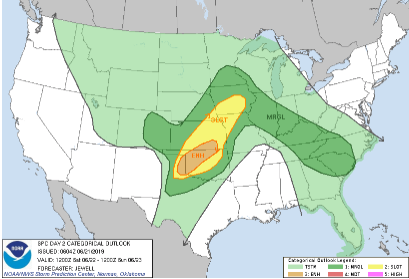
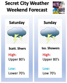
Happy Friday to everyone! It is only fitting to have the sunshine return today, as it is the first day of Summer. Today is known as the Summer Solstice because it is the longest day (most daylight) of the year. Soak up the sun today as these pretty skies won't be hanging around long. Jumping into the pattern across the USA right now, we see a strong low sitting across the Plains. This will allow for the production of severe potential this afternoon in west TN, west KY, IL, and MO. By this evening we could see an isolated shower or thunderstorm roll through, but it is not likely. So what will this low do to us? You called it, bring more showers and storms into the area. Saturday will be our best day for activity as we are likely to have storms move into east TN during the morning hours. This will be followed by mostly cloudy skies until the early afternoon hours where the next round of storms will move in. These will likely become more scattered by the mid afternoon hours and eventually move out by Saturday night. For Sunday, isolated storms are possible across the area, otherwise we will have mostly cloudy skies. Temperatures starting today will begin increasing as southern flow returns. Monday will likely be our warmest day (over the next 5 days) with high's around 90 degrees and humidity that could make conditions feel very sticky. As I mentioned above, the severe potential this afternoon and into tonight will be held to our west. For us, we cannot rule out an isolated storm, but confidence on that is on the lower end of the spectrum. Severe potential remains possible this weekend as storms will arrive in waves throughout Saturday. The primary impacts will be damaging winds, but small hail and downpours are possible at times. Check out your weekend forecast below. As I talked about, it will not be the best weekend for outdoor activities, so kick back and relax indoors. Stay weather aware and continue to check back in with us Via Twitter & Facebook for the latest. If you can hang in there a few more days, Wednesday is the "light at the end of the tunnel" with these storms. I hope everyone has a blessed first day of Summer and stays dry this weekend.
0 Comments
Leave a Reply. |
Your trusted source for everything weather in East Tennessee.
Social Media
|

