|
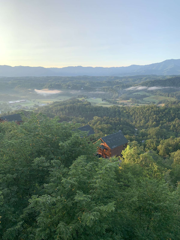
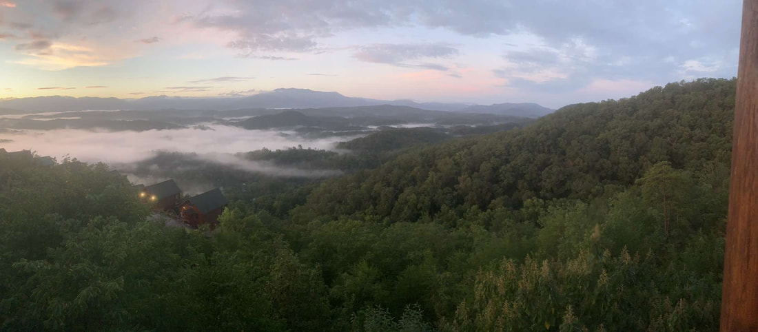
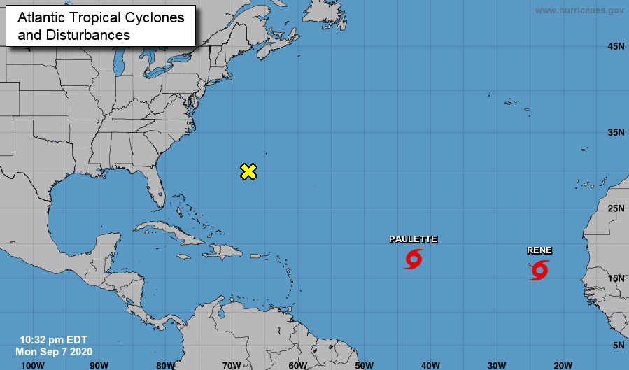
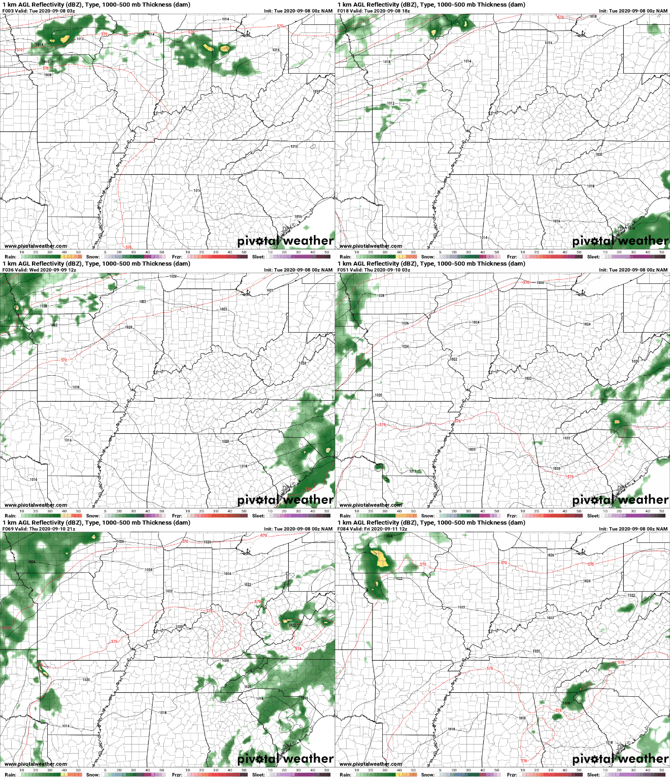
Good morning! I hope everyone enjoyed the extended weekend. Here are a few pictures to highlight the beautiful weather we had. Whether you were overlooking the Smokies or the Tennessee River, conditions were gorgeous either way. As we transition back to work today, another active week is ahead for the Atlantic. Two Tropical Storms (Paulette & Rene) are active. The good news for these two is landfall isn't expected. They will work a bit west before turning sharply north. On the other hand, a wave near Bermuda (highlighted yellow) has the opportunity to strengthen in the next few days before working west. This batch could impact the Carolinas later this week, but final strength and intensity are too soon to tell. For here at home, we'll see another day of sunshine. Unfortunately, temperatures and humidity values will begin climbing back up. Afternoon pop up showers will also find their way back in Thursday and Friday with more widespread activity early into the weekend. A secondary, slow moving, cold front will arrive late weekend as well. Like the one from this past Friday, high's will be in the upper 70's to lower 80's across east Tennessee. With things warming up, keep your heat safety in mind. We'll have lots of sunshine the next couple of days, so stay hydrated, cool, and don't forget the sunscreen.
0 Comments
Leave a Reply. |
Your trusted source for everything weather in East Tennessee.
Social Media
|


