|
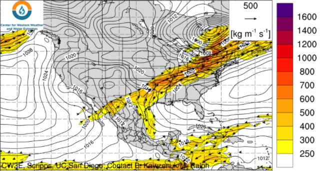
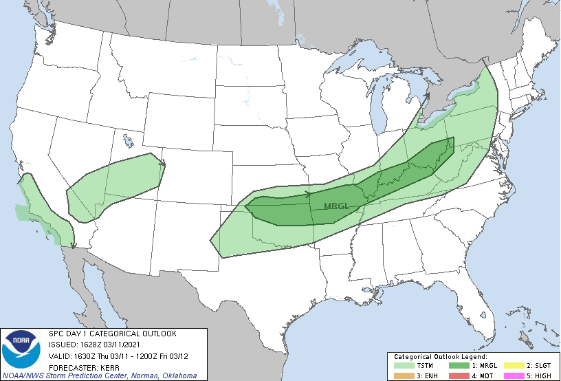
Cloud cover will be on the increase this afternoon and evening as a frontal boundary sets up to our north. As you can see below, water vapor lines up well with where the heaviest precipitation swath will be. The bulk of showers will stay contained to Kentucky and west. With that said, we will see a few lingering showers (isolated to scattered) Friday and the weekend. As this boundary hangs to the north, a slight chance for thunderstorms is possible. Again, the heaviest and most active locations will be outside of East Tennessee. Better chances evolve early next week as a low (carrying a cold front) arrives Monday and Tuesday. A very unsettled pattern is ahead (quite the difference than the sunshine & warm temps we've had). Looking below, this data suggests the heavier rainfall band setting up into Kentucky and to the west. A few scattered showers will find their way south Friday and the weekend. As the low slowly works eastward better rainfall chances arrive early next week. Early indications suggest a healthy 1 inch rainfall will be possible Monday and Tuesday. This will be in additional to the half inch we see tonight through Sunday morning. Don't forget to download your copy of this years almanac which can be found at SecretCityWeather.com/AlmanacDownload Don't forget to view our daily video forecast below as well, more information about what you can expect ahead can be found. Pre-recorded for 5pm show
0 Comments
Leave a Reply. |
Your trusted source for everything weather in East Tennessee.
Social Media
|


