|
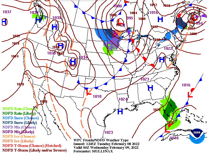
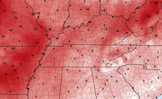
Pleasant conditions continue to find us today, with highs a degree or two cooler than Monday. Most will settle near to slightly above average, with highs in the upper 40s and low 50s. Working into Wednesday, a warm front will work northward as high pressure is across our south and east. Return flow (as we like to call it) will usher in much warmer air ahead of another approaching cold front. With warmer air to surge in tomorrow, afternoon temperatures will be above the norm. Looking across our area, 5-10 degrees above average can be expected. This will translate to highs in the mid 50s to lower 60s. A cold front will then follow late tomorrow, bringing increased cloud cover (briefly) followed by temps a degree or two cooler (similar to today). We mentioned the drought potential ahead given the lack of rainfall anticipated over the next 7 days. Looking below, this is the current conditions, with abnormally dry spots across the Smokies and into the southern valley and plateau. Look for the updated map later in the week, but keep in mind this does not account for all the rainfall we saw late last week and into the weekend. Another pleasant day is in the works for Wednesday, with high temperatures even warmer. Take advantage if you can! Pre-recorded for 5pm show
0 Comments
Leave a Reply. |
Your trusted source for everything weather in East Tennessee.
Social Media
|


