|
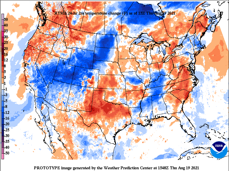
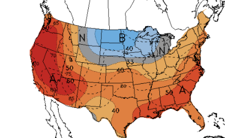
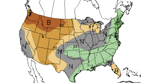
With our next weather maker impacting southern East TN, and to soon bring scattered showers/storms to the remainder of the area this afternoon, temperatures are much cooler. Looking below, most areas are 5 to 10 degrees cooler than this time yesterday. The added cloud cover and rain cooled air is making things feel fairly commutable (minus the humidity). Looking at modeled guidance, showers and storms will be scattered today and again Friday. These will primarily be during the afternoon and early evening hours (during peak heating) before fizzling out overnight. Into the weekend, high pressure begins to dominate, leading to increased temperatures and lesser opportunities for rainfall. As hinted above, the latter part of August will likely feature higher than normal temperatures and near normal precipitation. For reference, Knoxville averages a high of 86 late August to early September and daily precipitation of 0.1". After a very wet week, look forward to some drier weather. As a result, temperatures will be warmer than average but we are closing in on Fall; officially beginning September 22, 2021. Pre-recorded for 5pm show
0 Comments
Leave a Reply. |
Your trusted source for everything weather in East Tennessee.
Social Media
|


