|
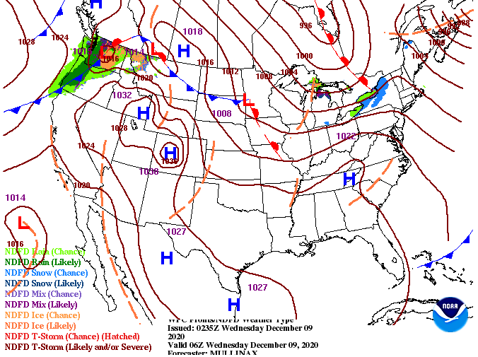
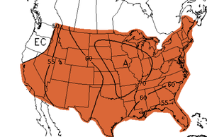
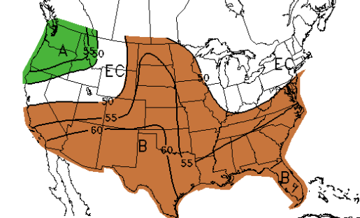
As heights continue to rise with high pressure settling in, we'll see a favorable change in temperatures. High's will warm to the mid 50's (near to slightly above average) today and 60's tomorrow and Friday. Sunshine will also stick around making things feel a bit warmer at times this afternoon. Moving forward, there will be little change in the short-term forecast. Sunshine and the continued warming of afternoon high's continues through Friday. By Friday afternoon, increased cloud cover (associated with a low) will bring the potential for showers for the start of the weekend. Trends in the guidance is still being solved as this particular one (below) has the line thinning out and weakening on its eastward trajectory. Other sources of data suggest a large swath of moisture throughout the day and into Sunday morning. For now, we went more conservative but this could change as we work closer to Saturday. Either way, do anticipate cloudy skies for much of the weekend and the chance for showers Saturday and the first half of Sunday. We mentioned in a few previous write-ups that this coming Winter will likely be a late one. The latest monthly outlook from the Climate Prediction Center reflects that as well. The month of December (nation-wide) looks to end above average as a monthly mean. Like-wise, precipitation looks to end below average for much of the US. This is not good for the major drought conditions taking place across the western US (will provide that tomorrow). We'll continue to eye conditions here at home as well. That will do it for today, thank you for viewing! We should have the Almanac sponsorship webpage up sometime next week if you are interested in purchasing a section for your company/business. Pre-recorded for 5pm show
0 Comments
Leave a Reply. |
Your trusted source for everything weather in East Tennessee.
Social Media
|


