|
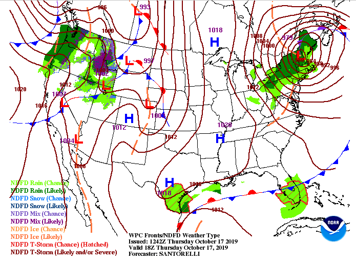
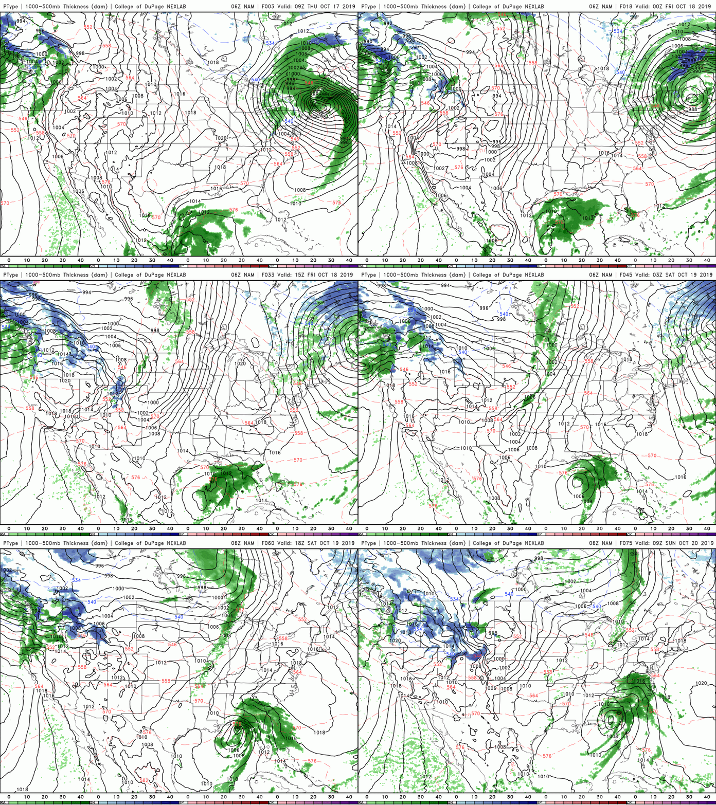
Very dry conditions across east TN from the latest drought map (from this morning). Unfortunately, our next real rain maker won't arrive until Monday afternoon and into early Tuesday, so expect these conditions to slightly increase in severity over the next few days. Jumping into conditions this afternoon, expect it to stay cool with high's in the low 60's and mostly sunny skies. Our overall setup is with a high pressure system overhead. This will begin warming things up (near average) as we get into Friday and Saturday. By Sunday afternoon, we could see some isolated showers from a system to our south, but the main focus is Monday night when a system to the west moves through. We will likely see showers and thunderstorms with rainfall up to half an inch (much needed as we see). My mid-week though, we'll have clearing skies and temperatures beginning to warm back up into those 70's. Looking at model guidance below for the setup, we see that low develop in the Gulf and move north. That'll bring isolated showers for the far most eastern part of Tennessee, but our real rain maker will arrive Monday afternoon into early Tuesday. For the next couple of days, expect to stay dry with sunny skies overhead and temperatures warming slightly each day. Thats all we have for you Thursday forecast, so enjoy these seasonal conditions.
0 Comments
Leave a Reply. |
Your trusted source for everything weather in East Tennessee.
Social Media
|


