|
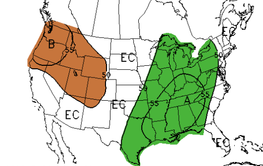
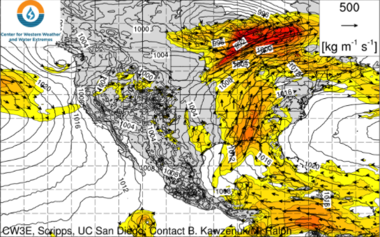
A few isolated showers have made it through the night, otherwise skies are mostly cloudy this morning. As we work ahead, precipitation is high this week. An active weather pattern will dominate much of the eastern half of the US this week with medium to high rain chances every day. Looking below, lots of water vapor is being forced in from the Gulf of Mexico. Reason being, an area of high pressure sits off in the Atlantic and the clockwise flow of this system is advecting moisture in. Pulses of energy along with daytime heating will help in producing these showers for the next several days. Scattered showers will start us off before a few storms become possible during the afternoon and early evening. This will mainly be the trend through the late work week before we buy a much needed break towards the late weekend. Anticipate the daily pattern of scattered showers, chances of afternoon thunderstorms, then activity petering out overnight. Rainfall amounts now through the weekend are expected to be between 2 and 3 inches. Keep the rain gear handy this week. Showers won't be an all day event but more scattered and in rounds throughout the day before dissipating after the onset of nightfall. Temperatures will also be fairly consistent this week with highs ranging in the lower 80s and overnight lows in the upper 60s. Pre-recorded for 5pm show
0 Comments
Leave a Reply. |
Your trusted source for everything weather in East Tennessee.
Social Media
|


