|
Wow, how about this gorgeous view of the Smokies from the Newfound Gap cam this afternoon?! This is a good glimpse into how conditions will be for this weekend. 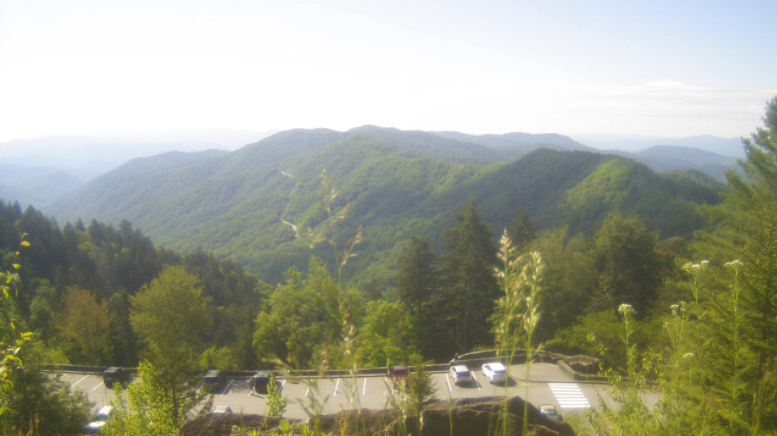 Temperatures to start the weekend will be nearly the same as today with high's topping out in the low to mid 80's. A high pressure system (to the west) remains in place keeping things rather peaceful. A weak cold front from the north will slide through the later part of the weekend keeping temps mild in the lower 80's (Sunday & early next week). Do be mindful a pop up shower is possible Sunday afternoon but the vast majority of us will stay dry with lots of sunshine overhead. 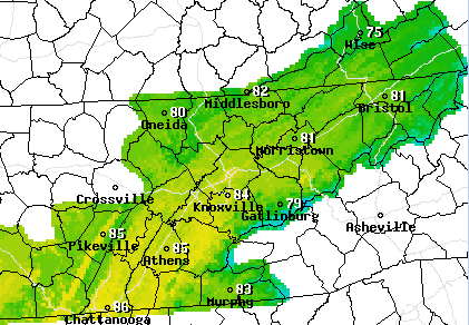 Taking a look into the future, precipitation is expected to remain well below the average for this time of the year. Not only will this impact us at home, but much of the deep south will be drier than normal over the next 6-10 days. We will keep a close eye on this as we near the summer time months and if any drought conditions begin popping up. 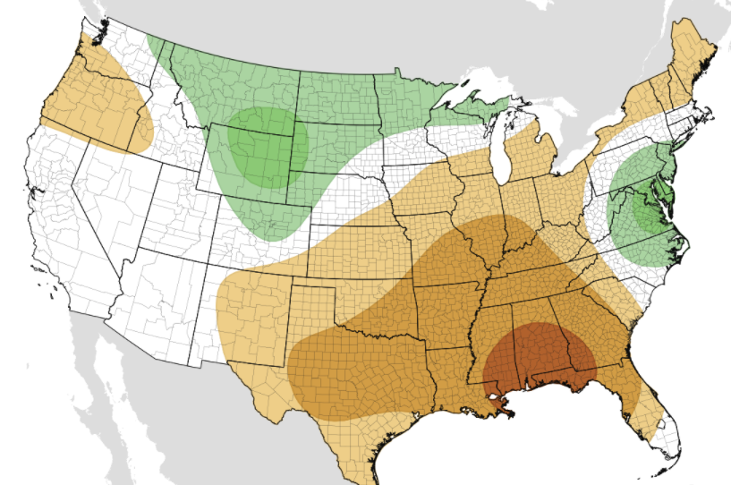 That will conclude today's forecast; have a fantastic weekend! If you would like to share any outdoor adventures with full credit to you, share your pictures by tagging us on social media or sending them to [email protected]
0 Comments
Leave a Reply. |