|
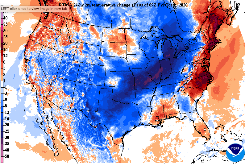
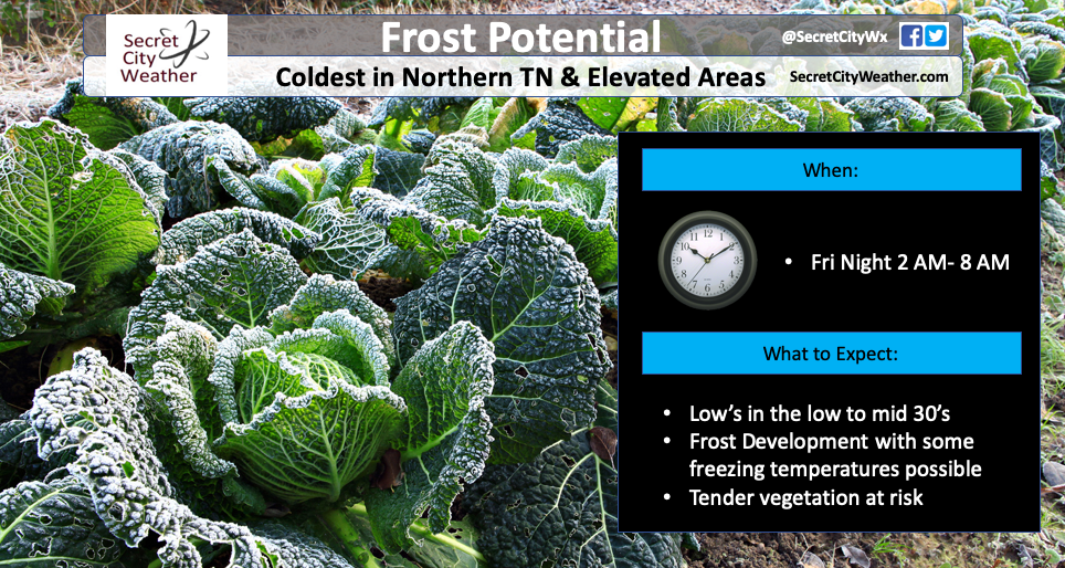
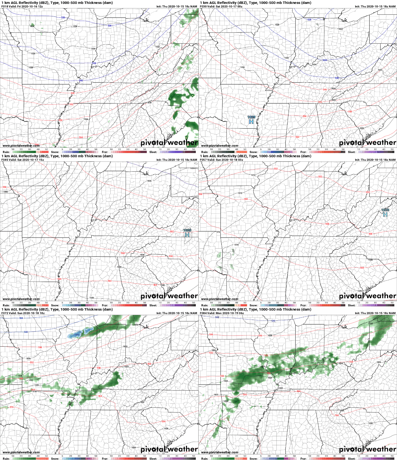
The cold front has arrived and cooler air is beginning to funnel in. Along with this, we are seeing post-frontal shower activity across the region. This will begin to work out by the mid-morning hours, allowing for clearing the remainder of the day. As we work into tonight, the biggest concern will be the first frost of the new season. Areas in the northern half of East TN, the Plateau, and Smokies are all at risk. Some areas, specifically Washington County and the higher elevations of the Smokies, could see freezing conditions as temps drop to at/below 32 degrees. Be sure to cover any plants that you have of value tonight. We'll see warmer temperatures back in the forecast through the weekend and into next week. Overall, things stay calm the next several days. A high pressure system will settle overhead, allowing for lots of dry air, sunshine, and warming temperatures. We have another shot of moisture by mid-week next week, but things stay dry until then (once today's morning moisture dissipates out). Temperatures will be chilly this afternoon and cold for those getting up early tomorrow. Be sure to cover those plants, especially for those who live in the areas mentioned above. High's will gradually return to near average by Sunday with a continued warming trend into early next work week. Have a good weekend and if you do see some frost, let us know through social media or by email: SecretCityWx@aol.com.
1 Comment
11/10/2020 04:40:17
I seriously hate the chilly weather. I am not a person who enjoys it, that is for sure. I believe that it would be best if we can have a warm weather. I just do not get how people can enjoy it so much. I still think that it is best if we can have a nice day for the entire year. I just cannot enjoy the chilly weather at all, I am not someone that is up for it.
Reply
Leave a Reply. |
Your trusted source for everything weather in East Tennessee.
Social Media
|


