|
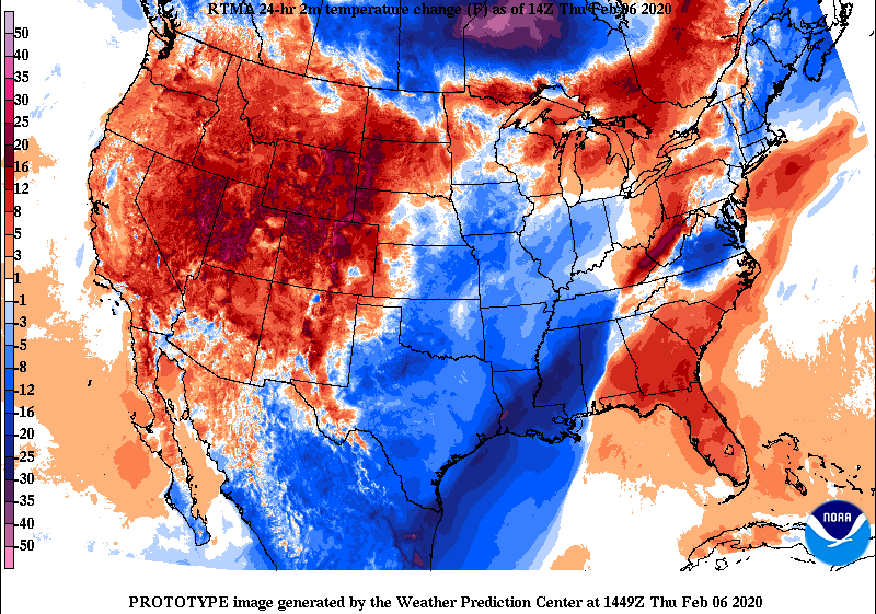
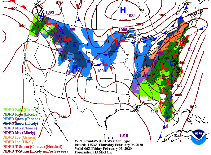
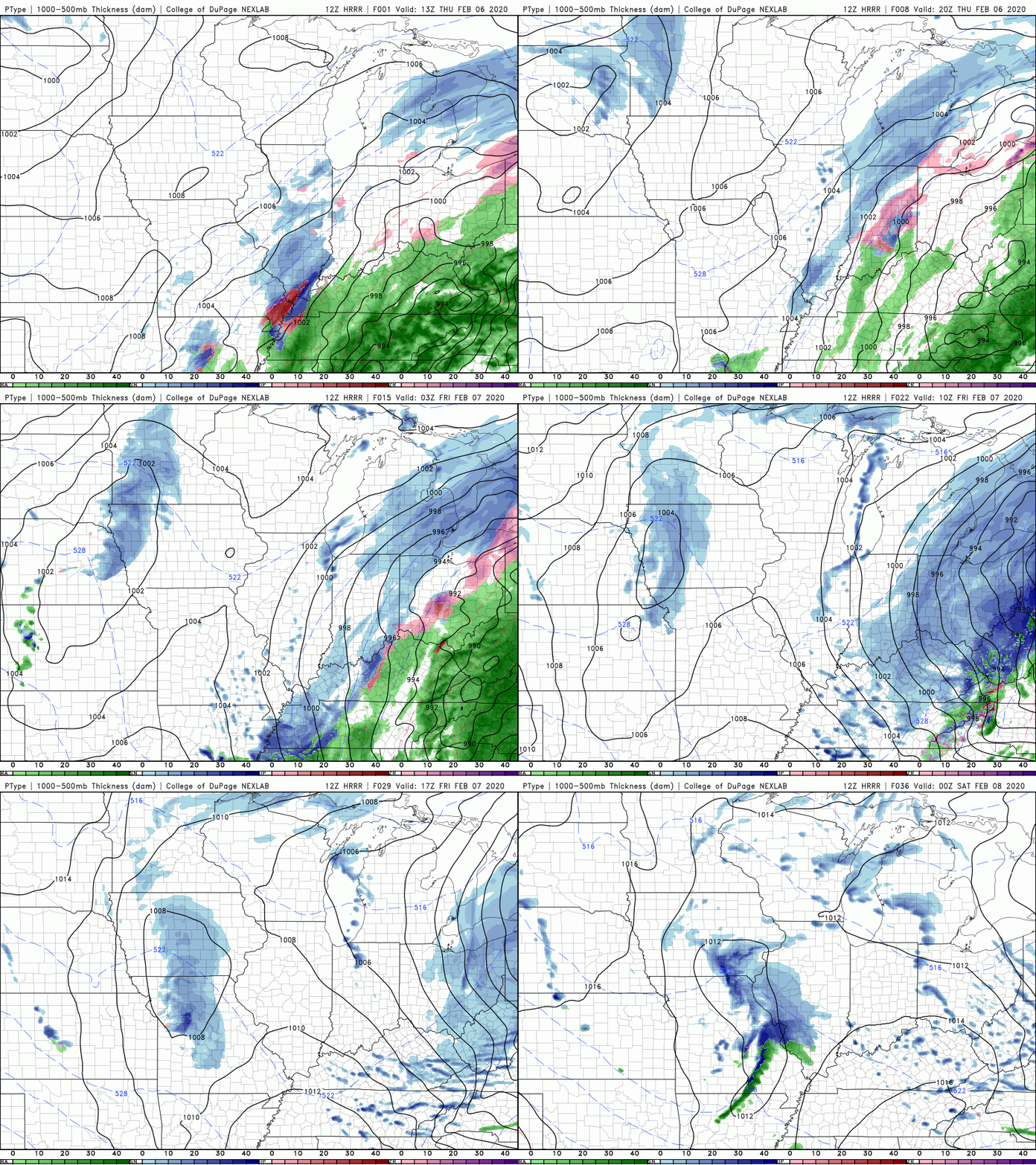
Reports of flooding throughout east TN continue to pour in. If you have any reports or pictures you'd like to share, tag us on social media @SecretCityWx or email us at [email protected]. We will give full credit to you. Looking below, much cooler air is on the way. In fact, temperatures have already begun dropping as a cold front starts to work in. Breezy conditions will also accompany this front. Typically, breezy conditions and cold air are not a good mix, but for this case, the wind will help in drying out wet surfaces. With temperatures near freezing tonight in the valley, icing in the higher elevations could become an issue. The latest surface map shows there is an end in sight. Remnant light showers and snow showers will move out tomorrow morning, leaving the remainder of the day mostly cloudy. Another round of showers are possible Saturday morning before much needed clearing takes place into Sunday. Unfortunately, this active pattern continues with more showers Monday and early next week. The short term high resolution model (below) depicts the likely outcome over the next 24-hours. As colder air works in, snow showers/flurries will likely move through. Though no accumulation is expected here in the valley, the Plateau and Smokies could see some "white stuff" Friday morning. As always, stay up to date with us via Twitter/Facebook (@SecretCityWx) and be careful if you're on the roadways today and tomorrow.
0 Comments
Leave a Reply. |
Your trusted source for everything weather in East Tennessee.
Social Media
|


