|
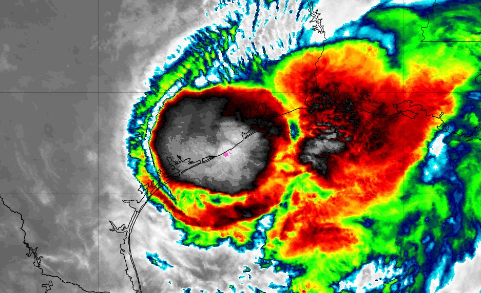
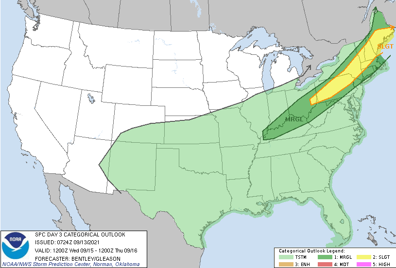
Nicholas strengthened to a Category 1 Hurricane before making landfall in Texas very early this morning. This system is expected to gradually (and I mean gradually) work east over the next couple of days, dumping heavy rainfall in portions of Texas and Louisiana. There is still some questions on how much moisture we see from this system, but some will get swept in with the cold front expected tomorrow. Looking at the SPC outlook for Wednesday, a marginal risk lies to our north (for now) as a cold front works east through the day today. Gusty winds, heavy rain, and lightning will be possible tomorrow, specifically in the afternoon hours. We could see this Marginal risk pushed down further south into parts of Middle TN/Plateau, with the biggest risk being damaging winds. Running through model guidance, a bit of a change from the dry phase we have been in is planned. Isolated showers this afternoon will lead to scattered widespread showers/storms into Wednesday. A cold front will also allow for cooler temperatures with highs tomorrow in the low 80s. Additional showers/storms will be possible each afternoon through the end of the work week and into the weekend. Nicholas could also provide more moisture depending on how far north it travels. For now, a more eastward track is planned but another cold front will sweep this system in by the weekend. For now, enjoy another mostly dry day. Showers and a few storms arrive back for Wednesday with additional activity expected Thursday and into the weekend. These will peak during the afternoon and fizzle out with the onset of nightfall. Pre-recorded for 5pm show
0 Comments
Leave a Reply. |
Your trusted source for everything weather in East Tennessee.
Social Media
|


