|
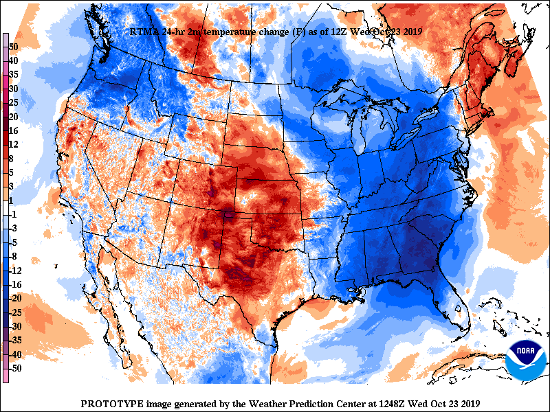
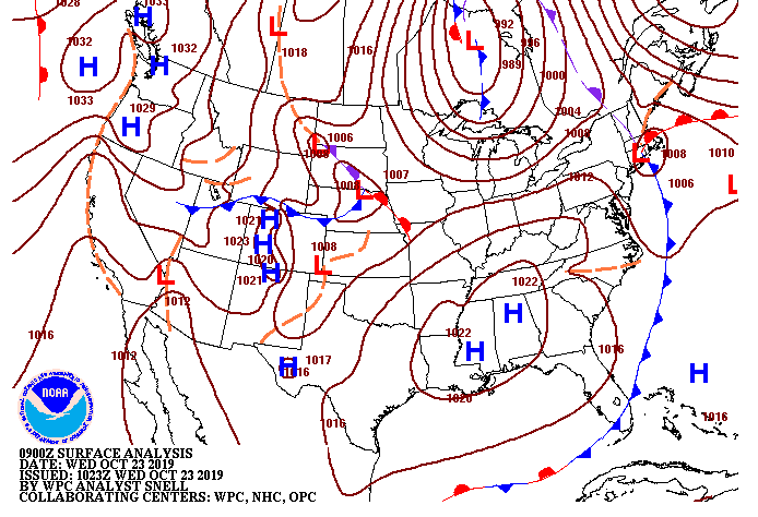
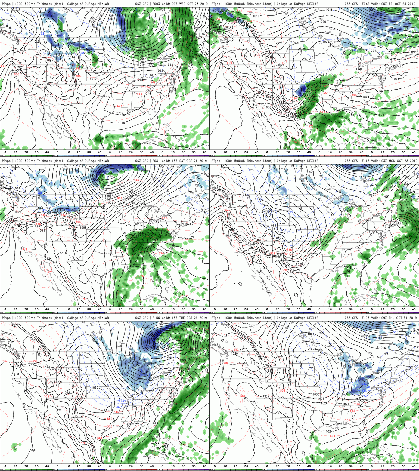
The cold front has brought cooler air (up to 12 degrees) into the area since this time yesterday for parts of east TN. Working into this afternoon though, we will warm up to high's in the mid 60's. This will continue into Thursday warming up near average with sunny skies and highs around 70. There is some changes coming in the forecast though, as a system will develop to our south bringing another round of rain and storms Friday and into the weekend. This will cool things back down into the lower 60's and bring another inch to two inches of rain Friday through Sunday. Taking a look at model guidance, we see that system develop in the Gulf moving north into east TN. This will bring us quite a bit of rain (based on the latest data) from 1-3 inches depending on where you are. As we get into tomorrow, I will have a better idea on totals across the region. In addition to rain, snow showers are possible for our friends to the north by early/mid next week. A low to the north early next week will swing through a cold front bringing light snow showers to parts of Kentucky, Indiana, and Ohio. There is a slight chance for some snow showers in the highest of elevations of the Smokies, as well, but we will see as time gets closer. Nonetheless, expect cooler temperatures to work back in early to mid next week with overnight low's dropping in the the 30's and even 20's for the higher elevations. Thats all we have for your Wednesday but go out and enjoy the fall conditions and check back with us tomorrow for the latest development Friday and into the weekend. (Side Note: This weekend looks wet and gloomy so get all of your outdoor errands done while its beautiful)
1 Comment
|
Your trusted source for everything weather in East Tennessee.
Social Media
|


