|
As we have seen the past few mornings and do again today, look out for patchy fog. As it begins to burn off by mid-morning, temperatures look to be warm again today. With the added moisture across the region, feel-like temperatures will be closer to the mid 90's this afternoon. Keep in mind our average high for this time of the year is in the mid 80's and we've been trending 4 to 5 degrees above that. 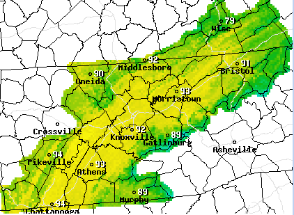 Better news (depending on how you look at it) is on the way. A nearly stationary front lies to our north and west and will gradually pull south by late Saturday. With it, we will see shower activity pick up and eventually cooler air work in late weekend and early next week. 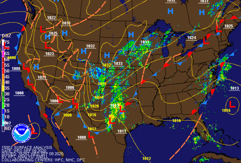 With the added humidity, a few isolated showers can't be ruled out today and tomorrow. Chances increase each day with the best rainfall chances Sunday. As the front works through, widespread shower (and a few thunderstorms) are likely late Saturday and through Sunday. This will also knock temperatures back down to near average before we warm back up later in the week. It will be interesting to see the release of the TN drought map as we have been dry with above average temperatures the past several days. I suspect only minor advancement in the areas of "abnormally dry" (Chattanooga & far western TN) but we'll provide more insight tomorrow. 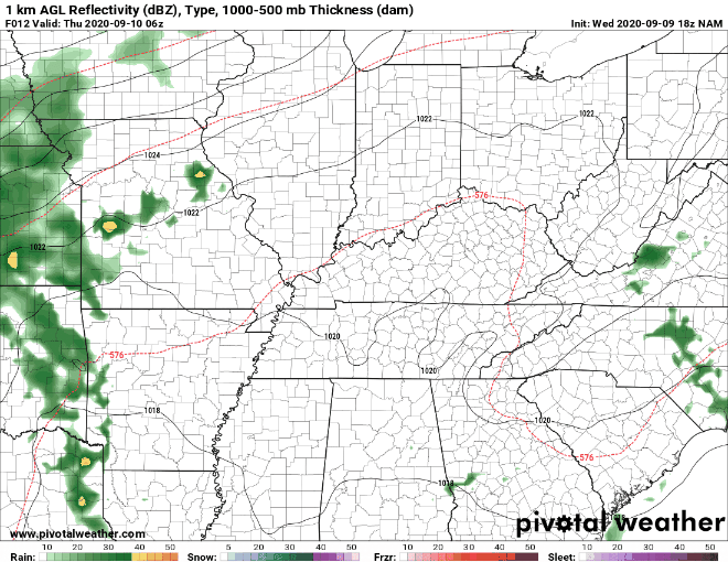 Don't forget to check out the daily video forecast below! As always, thank you for joining today and if Secret City Weather can help you, visit our "services" tab above or email us at [email protected]
0 Comments
Leave a Reply. |