|
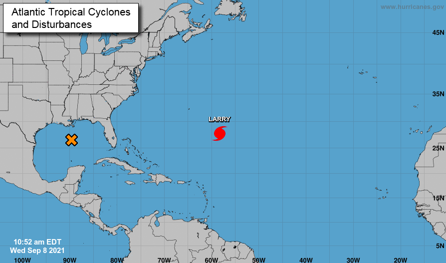
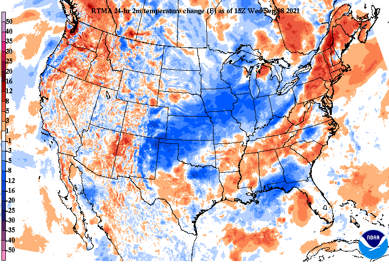
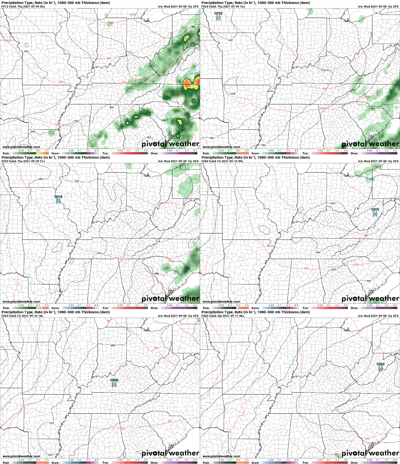
Good afternoon! The Tropics remain active this week, as a disturbance in the Central-Gulf has a 40-60% chance of development. This system will work north and east, impacting the Gulf states, through Georgia, and eventually the southern east coast. In the Middle Atlantic, Larry continues to churn north expecting to pass just east of Bermuda tomorrow morning. Turning our focus back toward East Tennessee, a cold front sits just to our west and it is not too hard to make out where. Much cooler air has filtered in through the Mid and Upper Mississippi and through parts of the Ohio Valley. This will continue pushing east, bringing cooler and drier air for Thursday. As the front pushes in, isolated showers will be possible at times this afternoon and evening. These should be pretty light, few and far between, and quick moving. As a result of the frontal passage, highs tomorrow will be in the low 80s with low humidity and lots of sunshine. Go out and enjoy the Fall-feel tomorrow, as temperatures will be below average for this time of the year. Additionally, sunshine and near to slightly below average temperatures will continue through Friday and the early weekend. By Sunday, southerly flow returns, bringing higher temperatures and increased humidity. Pre-recorded for 5pm show
0 Comments
Leave a Reply. |
Your trusted source for everything weather in East Tennessee.
Social Media
|


