|
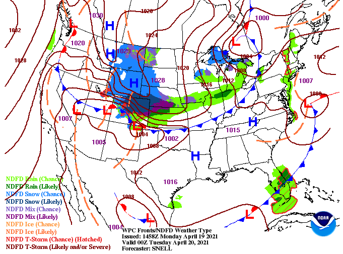
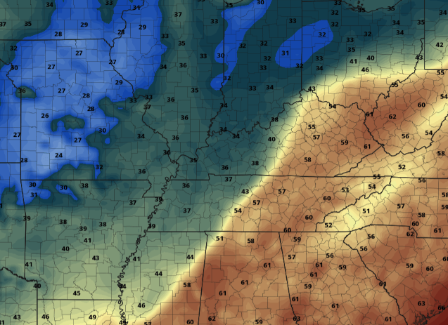
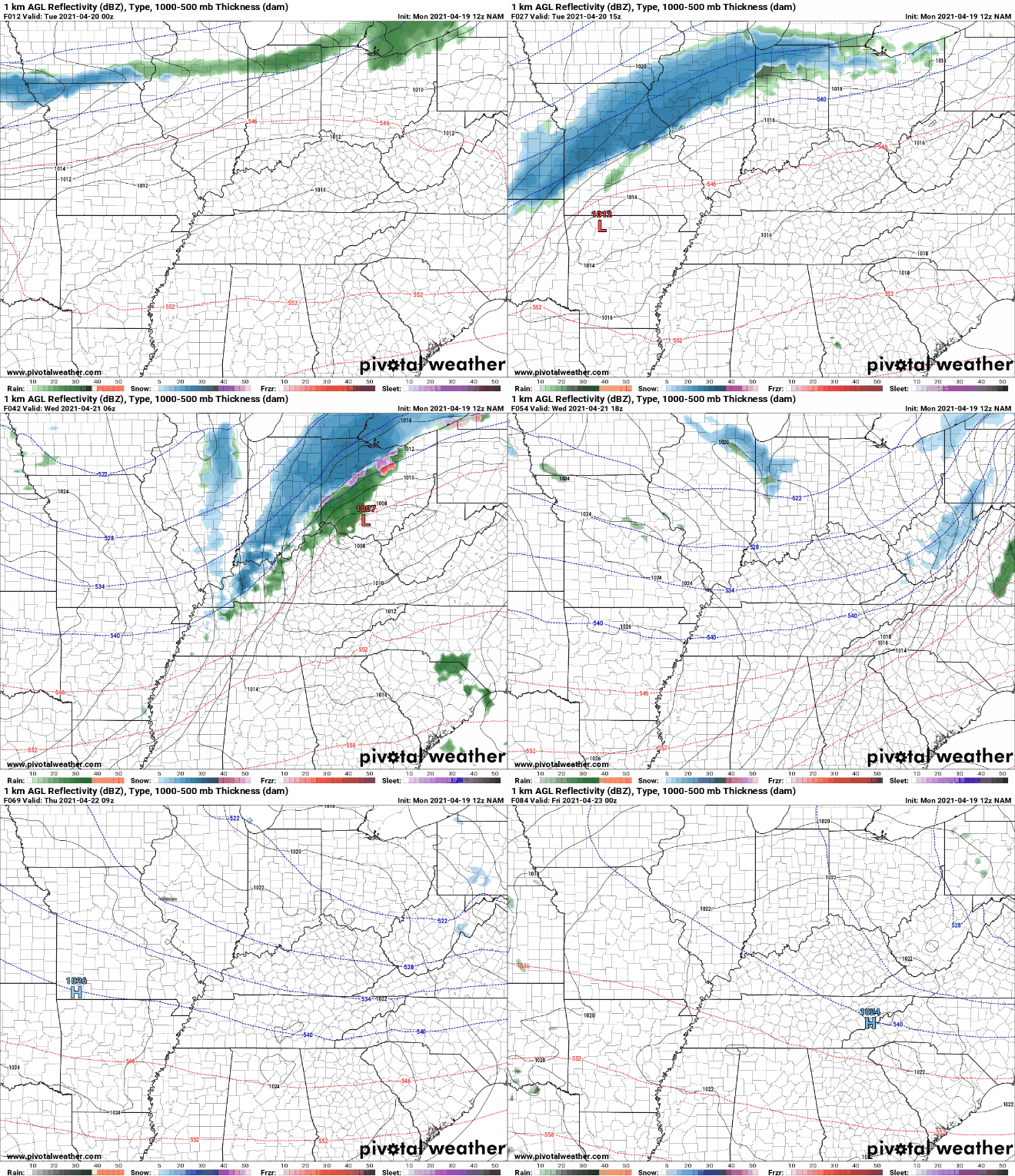
Noon-time temperatures stand in the upper 50s but will warm to highs around 70 degrees. Looking below, high pressure sits across Smokies but will continue to shift east for Tuesday. This will allow temperatures to warm back up with highs tomorrow expected to be in the mid 70s. Unfortunately, this won't last long, as a cold front quickly trails for midweek. As cold air funnels across the Upper Midwest today, its eastward trajectory will eventually cross the Tennessee Valley, bringing well below average temperatures. Looking at Wednesday morning, you can clearly make out where the front is located. The temperature gradient varies nearly 30 degrees from west to east. This will make things challenging for the Ag world, as frost and freezing temperatures are likely. Some locations, namely the Plateau, could even see a flurry or two Wednesday. Prepare now for protecting crops and sensitive vegetation both Wednesday night and Thursday night. There isn't a ton to highlight precipitation-wise ahead. As the cold front works through Wednesday, there will be isolated showers/sprinkles possible. Some of the higher elevations could even see a flurry or two before the precipitation departs north and east. Following, sunshine is set to return with temperatures gradually warming towards the end of the work week. The biggest highlight ahead remains to be the shift in cold air midweek. This will be a critical timeframe for the Ag sector as growing season is well underway. Cover and insulate tender plants and also think about livestock/pets who may be outdoors a bit more than in the winter. Pre-recorded for 5pm show
0 Comments
Leave a Reply. |
Your trusted source for everything weather in East Tennessee.
Social Media
|


