|
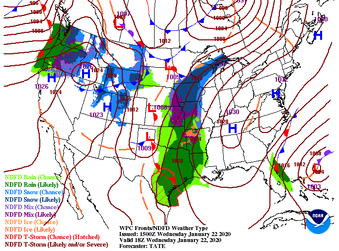
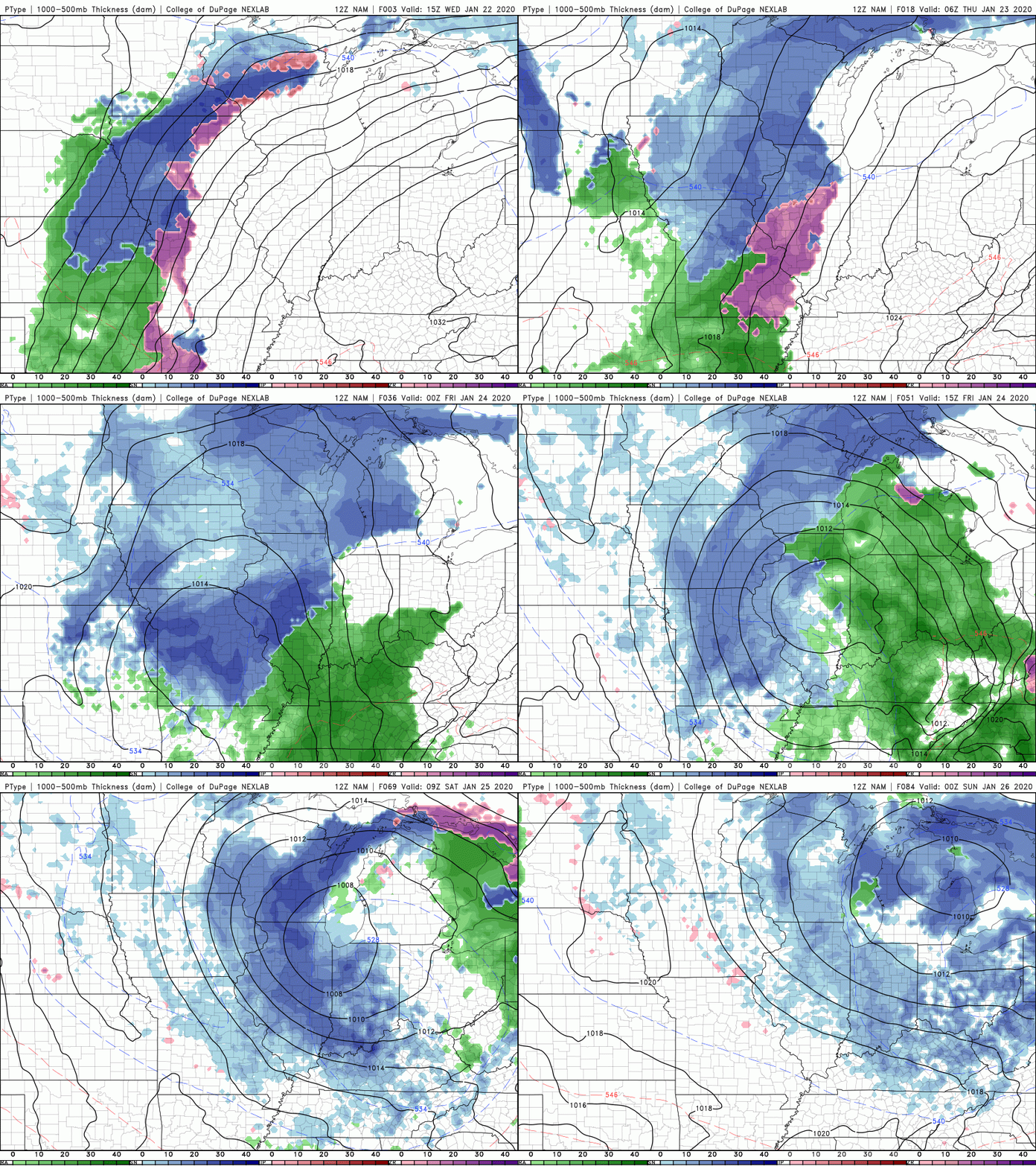
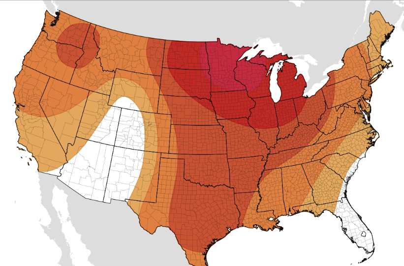
We started the morning very cold; the coldest of this year in fact. The good news is a warming trend is set to begin with temperatures staying near average this week and slightly above average next week. As for right now, a system to the west will continue to push in cloud cover throughout the day today and tomorrow. By tomorrow evening and overnight, showers will arrive and carry on throughout the day Friday. Rain totals continue to be upwards of an inch here in the valley with locally higher amounts possible. Getting into Friday night and Saturday morning, we will likely see a transition to frozen matter (snow) take place. Though no accumulation is expected here in the valley, there could be minor accumulations in the higher elevations. As we get closer to time we will have a more realistic idea. Nonetheless, it will be nice to enjoy a few flakes with this very cold air that has been hanging around. Looking longer term into the end of January, this warming trend is expected to continue. The CPC (Climate Prediction Center) gives east Tennessee a good chance of slightly above average temperatures to close out the month. Don't let this fool you though, rounds of colder air are likely to return as we get into February. Remember to sign up for this year's addition of the East Tennessee Almanac. If you would like to submit photos taken in 2019 (for consideration in this year's Almanac) you may also do that at SecretCityWeather.com/almanac
0 Comments
Leave a Reply. |
Your trusted source for everything weather in East Tennessee.
Social Media
|


