|
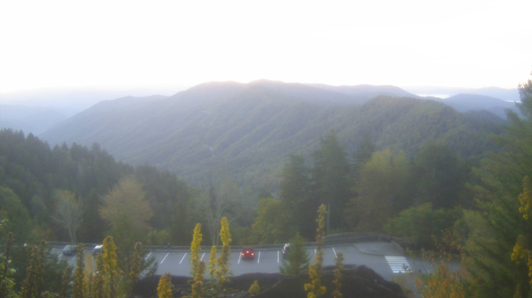
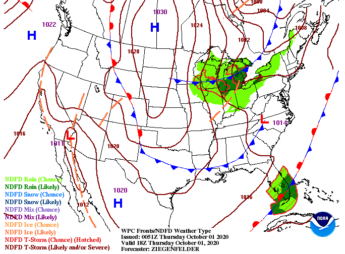
Good morning everyone! This view of the New found Gap area comes courtesy of the Great Smoky Mountains National Park. Another beautiful day is planned ahead with high's in the low to mid 70's and sunshine overhead. A cold front will work through this afternoon providing an additional drop in temperatures for Friday and the weekend. Fortunately for us, this one will be dry. We'll see it arrive sometime in the early to mid afternoon hours today. Following the passage of the front, anticipate much cooler and drier air. Low's tonight will fall to the mid 40's with the coolest temps of the new season likely Friday night into Saturday morning. As for rainfall chances in the next several days, things look pretty calm. With additional dry air arriving this afternoon, things will remain seasonable tomorrow and Saturday. A round of showers is possible for Sunday afternoon and overnight, but things dry back out for Monday and early next week. Overall, things should be beautiful for much of the weekend, so enjoy the sunshine and comfortable to cool temperatures. A look at dew points and more can be found in our daily video below. If you are in the agriculture sector looking for late season production, see how we can help! We can provide you with a better understanding in the weather patterns and when frost could impact crop production. Simply email us at [email protected] or visit the "Services" tab above and we will get back to you as soon as possible.
0 Comments
Leave a Reply. |
Your trusted source for everything weather in East Tennessee.
Social Media
|


