|
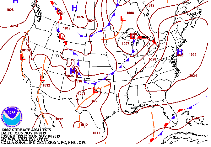
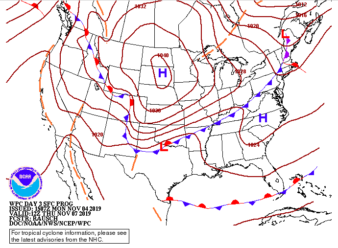
We have a few clouds moving through the area ahead of a front to the west. Luckily, we will stay dry this afternoon and through mid week before our next system arrives. Along with the drier conditions, expect to gradually warm up as well. This afternoon we will top out near 60 degrees with high's by Wednesday in the mid 60's. Model guidance shows the development of some light showers tomorrow afternoon in parts of west and middle Tennessee, but with a stable atmosphere overhead, we will stay dry here. A high pressure system will stick around through Wednesday before our next rain maker arrives Thursday. The latest data suggests around a quarter of an inch of rainfall Thursday into Friday morning before a cold front clears things out and cools things off. In regard to that cold front, the surface map for Thursday (Below) shows the strong cold front working its way in from the north and west. Expectations for this system are very similar to last week. Light showers on and off through the day Thursday will lead to a sharp temperature change Friday with much colder temperatures entering the weekend. High's Friday will be in the 40's with overnight low's in the 20's. Be sure to enjoy the sunny skies and comfortable conditions the first half of this work week presents before showers and much cooler temperatures arrive the later half.
0 Comments
Leave a Reply. |
Your trusted source for everything weather in East Tennessee.
Social Media
|


