|
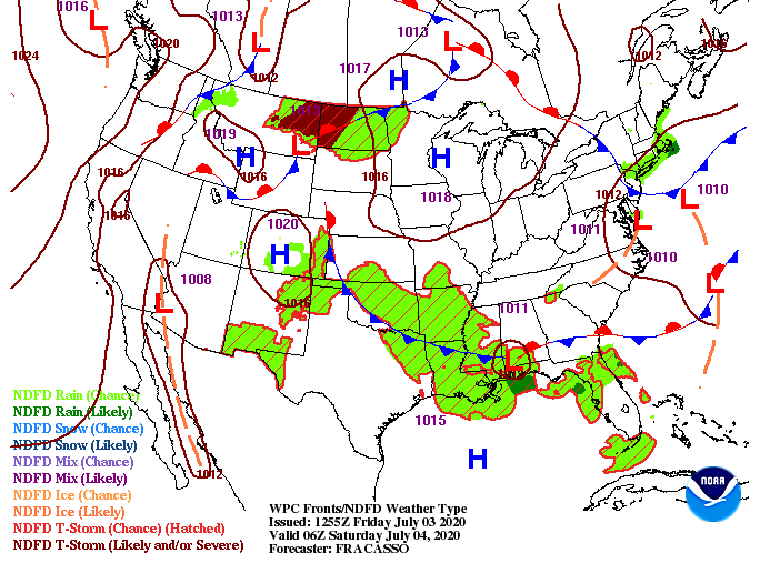
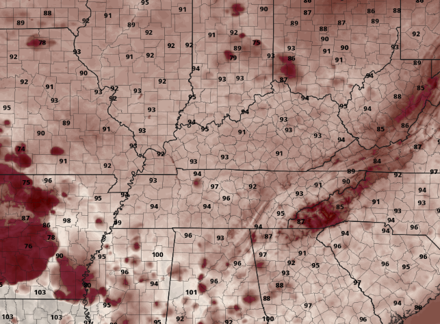
Good afternoon! It is already a warm one with lunch time temperatures sitting in the mid 80's. A high pressure system is continuing to build in allowing for the heat and humidity to rise today and the days ahead. A peak into your Independence Day shows feel-like temperatures in the mid to upper 90's across the region. If you plan to be outdoors for extended periods of time make sure to have plenty of water! High's in the upper 80's and lower 90's is expected to stick around for the foreseeable future. With warm and muggy conditions hanging around this weekend and early next week, don't be surprised to see a few afternoon pop up showers and storms. The bulk, as mentioned yesterday, will be in the higher elevations, but a few will likely pass through the valley. As we push into the second half of the weekend and early next week, more widespread activity is expected. The low that brought us lots of rainfall, flash flooding, and a few storms will begin pushing back north (currently along the Gulf). As for today and the weekend, stay well hydrated. Heat related illnesses can strike very quickly, so take the proper precautions. Have a wonderful Independence Day and don't forget to send in those pictures!
0 Comments
Leave a Reply. |
Your trusted source for everything weather in East Tennessee.
Social Media
|


