|
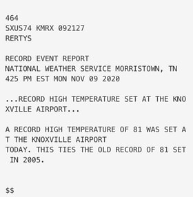
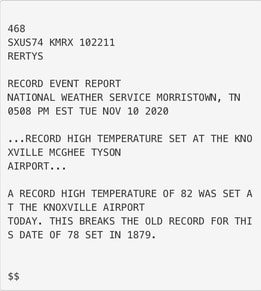
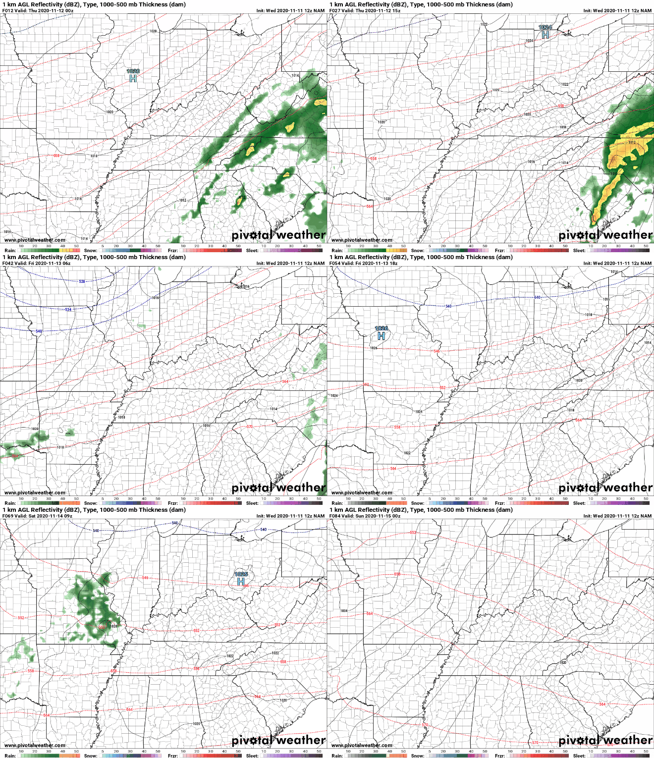
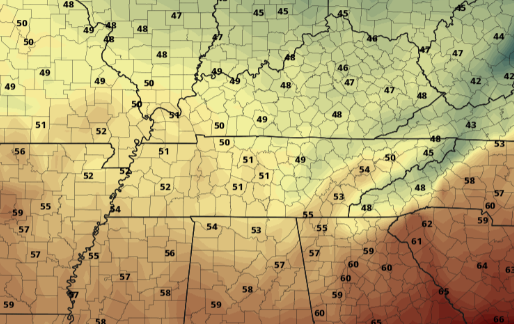
Happy Veterans Day to all who have served or are serving our great country! A look at weather so far this week, things have been hot (for November). How hot have things been lately? Record setting! Monday we saw a high of 81 in Knoxville, this ties the old record of 81 set in 2005. Yesterday, we squarely beat that getting to a temperature of 82 in Knoxville. This beats the old record of 78 degrees, which held on for more than 140 years (1879)!! As for today, shower activity continues into early this afternoon as a cold front migrates through the region. Rainfall will begin dying out this evening and overnight as high pressure builds in from the west. Cloud cover will decrease through Thursday, giving way to some sunshine by the afternoon. With a cold front working through, we will see some cooler temps but overall, high's stay above average. Longer term, dry conditions stick around Thursday through Saturday before isolated shower chances work in Saturday evening and parts of Sunday. Moisture will be limited with this, leaving most (if any) rainfall to the northern half of Tennessee and into Kentucky. Along with the isolated shower chances will be a strong cold front. The latest data suggests high's returning to the mid 50's Monday afternoon and the cool air continues into the midweek timeframe. This will all be accompanied by sunny skies overhead. For now, stay dry through this afternoon as moderate showers work in a north-northeast direction. Things will die out overnight, leaving clearing through Thursday and high's in the low 70's. For those eager to see a true "Fall" return, we will have that chance for the start of the work week next week, be patient!
0 Comments
Leave a Reply. |
Your trusted source for everything weather in East Tennessee.
Social Media
|


