|
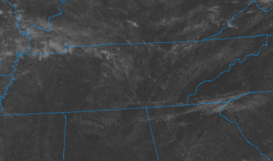
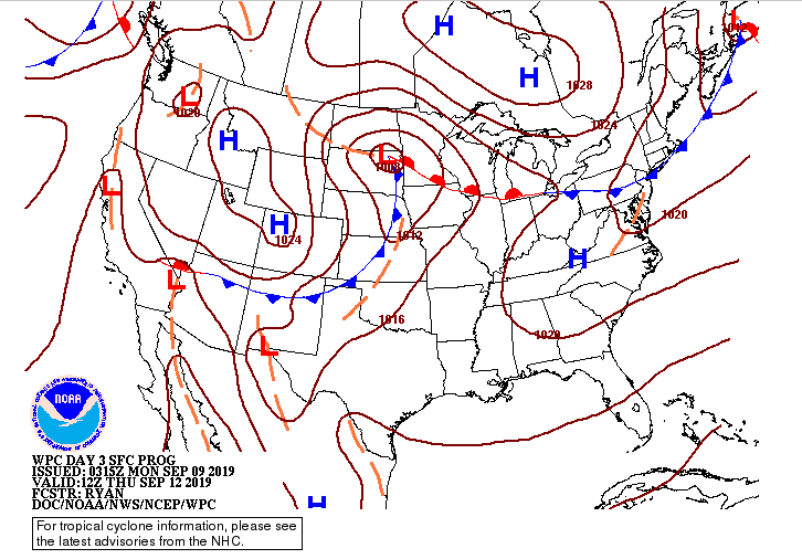
Good afternoon to everyone! It has been a rather warm weekend and this trend will continue for much of this week. Satellite, right now, shows us being pretty clear. We had some patchy fog this morning but luckily this has lifted as we've gone into the later part of the morning. Our current surface map shows why we will stay warm and muggy much of this week. You can see here a high pressure system that will build in Wednesday, and this will create increased temperatures and humidity through the later part of the week. Do to this increased moisture, it will create an environment for afternoon pop up storms to develop. Overall, these will be very isolated leaving around a 20% chance. Nonetheless, if you are caught in one of these cells you could see much cooler temperatures as well as some much needed rainfall. The latest short term model guidance agrees as today we will stay mostly sunny and hot with high's in the lower 90's. Much of the same expected tomorrow, but as we get into Wednesday, we could see those isolated showers/thunderstorms develop. Overall, we will stay mostly dry and hot this week with our best chance of rain not arriving until late weekend and early next week. I hope everyone has a good and safe Monday and remember your heat safety this week. Temperatures are expected to be nearly 10 degrees above the average for this time of the year.
0 Comments
Leave a Reply. |
Your trusted source for everything weather in East Tennessee.
Social Media
|


