|
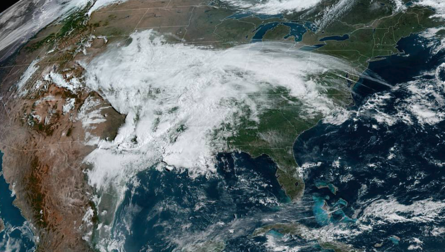
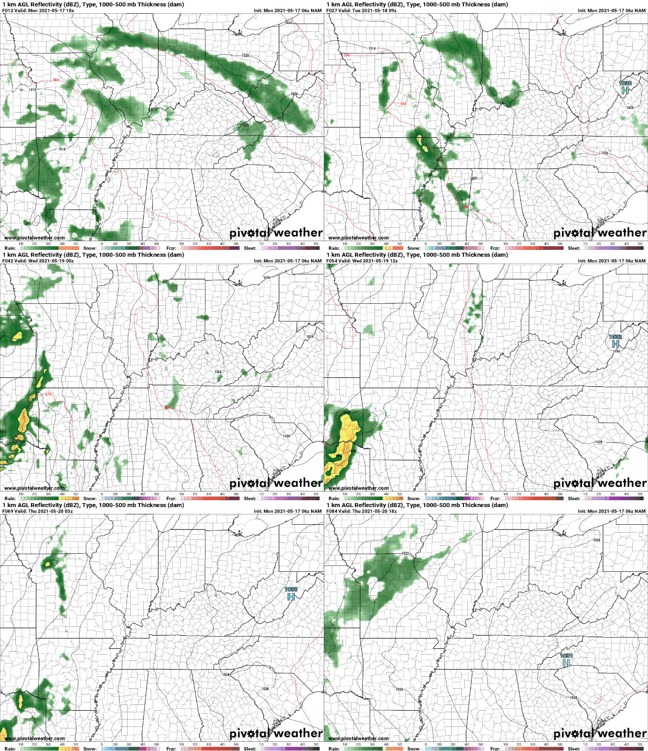
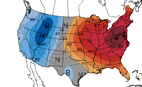
I hope everyone had a good weekend! As we jump into the new week, a system to our southwest and a front across the region will allow for a few isolated showers this afternoon and again for Tuesday. Looking at satellite, dense cloud cover, associated with a strong low, resides over Texas this afternoon and will bring strong to severe storms across that area of the US. Looking ahead, isolated showers and a few storms could be possible both this afternoon and again tomorrow. In behind the front and low to the southwest will be dominating high pressure. This will shift eastward, arriving by midweek. With the high in place the second half of the week, lots of sunshine and warm temperatures are in store. Looking at the next 6-10 days, well above average temperatures are expected from the Central Plains and east. This can be contributed to the high that will be positioned right above the area. To the west, higher rainfall totals are likely (Central Plains/Upper Midwest) given the return flow of the high. Across our area, anticipate much drier and warmer conditions Wednesday through at least early next week. Highs for some could be around 90 degrees as early as Thursday afternoon and lower 90s by the end of the weekend. Cloud cover and a few isolated showers will make temperatures feel right around the average for this time of the year but big changes are ahead. Highs near 90 will find East Tennessee the second half of the work week with plentiful sunshine to also accompany. Pre-recorded for 5pm show
0 Comments
Leave a Reply. |
Your trusted source for everything weather in East Tennessee.
Social Media
|


