|
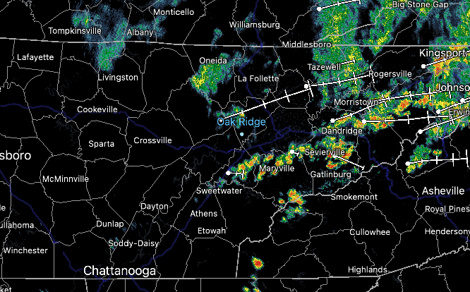
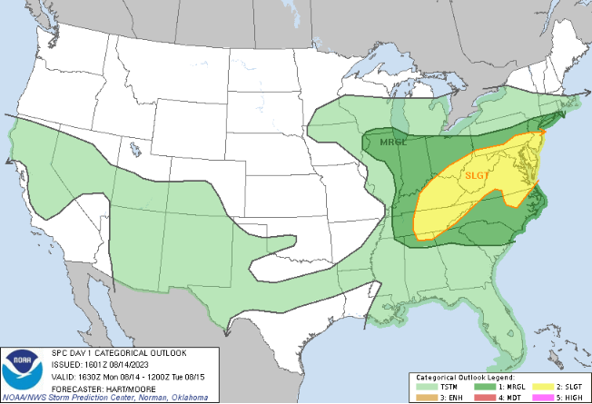
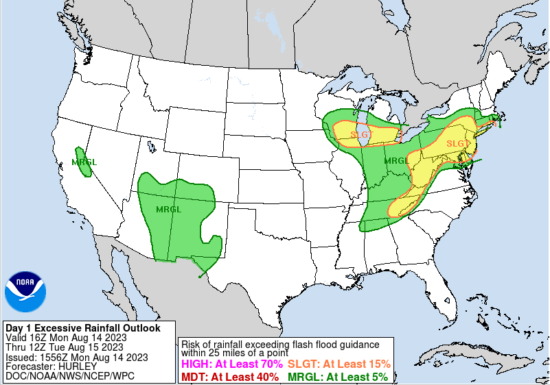
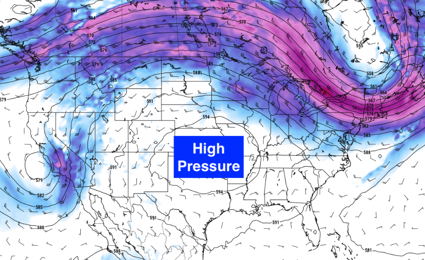
Scattered showers and storms seen across East Tennessee early this afternoon. A brief pause in activity can be expected now through the next couple of hours, before redevelopment later in the afternoon and through the evening. Highs today will warm up with increasing sunshine, topping out in the upper 80s. Looking at the risks for today, both a severe risk and flash flooding one are in place. With sunshine steadily returning from south to north at this hour, energy will increase across the area. This will set up the opportunity for strong or severe storms as we had into this evening. Additionally, heavy rainfall over the past week has resulted in soaked soils. As a result, flash flooding will be easier to come by. This is especially so for any showers/storms that work over the same locations. Have a way to receive warnings through early tonight. Moving forward, a big change is expected. After a rather unseasonably active July into August, a strong area of high pressure looks to press in from the west. This could result in both an extended period of dry weather, along with warm temperatures. We will see the start of this intruding by mid week, with the center of the upper ridge filling in by late weekend. This could bring us the warmest temperatures of 2023 so far. We will see how it all plays out, but the risk is certainly there over the next 7-10 days. Stay weather aware today. With strong or severe storms and flash flooding possible, have a way to receive alerts and know your plan of action. Damaging wind gusts are the main concern, but a few instances of large hail or tornadoes can't be ruled out. Timing for the strongest storms will be between 6 PM and 2 AM. Activity decreases tonight into Tuesday morning, where generally dry conditions follow us out through the end of the work week. Pre-recorded for 5pm weather broadcast
0 Comments
Leave a Reply. |
Your trusted source for everything weather in East Tennessee.
Social Media
|


