|
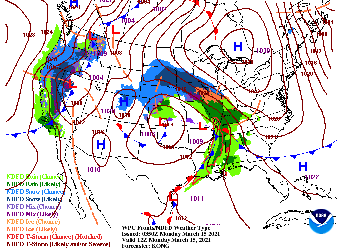
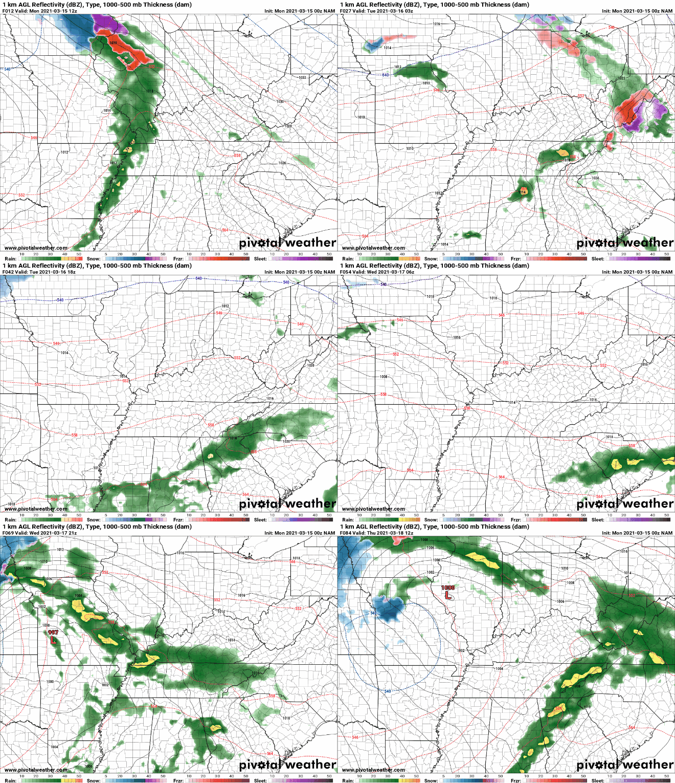
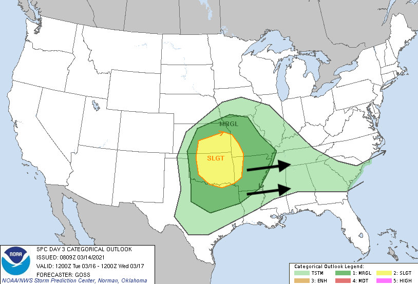
A powerful low will work north today bringing moderate showers by the evening and overnight hours tonight. This will then be followed by a dynamic and strong system mid-week that could bring some severe weather to the region. For now, showers should hold off through much of the day with better chances not arriving until tonight. High's should top out in the mid 60's this afternoon. Progressing ahead, showers work in from the west bringing moderate rainfall (at times) tonight. Fortunately, activity looks to weaken as nightfall arrives. Showers are expected to be out by early Tuesday morning, allowing for a mostly cloudy day throughout. Our next storm system will arrive later Wednesday and into Thursday. Models still show a fair amount of uncertainty with timing and exactly where heavier showers/storms will set up, but all suggest a fairly strong playbook across parts of the southeast USA. Early indications suggest storms setting up to our southwest and working east late Wednesday and Thursday. The biggest threat, for now, is gusty winds, heavy rain, and lightning. We'll continue to diagnose the atmospheric layout and what you can expect ahead. Taking a look at the SPC for Wednesday, a slight risk sits across the eastern Plains. This is expected to shift east for Thursday with a 15% categorical risk of severe weather across Western and Middle TN (more details below). The parameters look favorable for our first real severe weather setup of the new year. Changes are likely ahead so we'll keep you posted. Do your best to stay dry tonight, overall it should be a pretty quick mover while most are in bed. The next system mid-week appears to be more concerning as severe weather could be involved. I wish everyone a good start to the new week and don't forget to check out SecretCityWeather.com/AlmanacDownload Pre-recorded for 5pm show
0 Comments
Leave a Reply. |
Your trusted source for everything weather in East Tennessee.
Social Media
|


